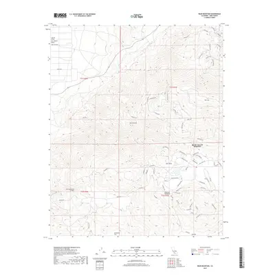
2018 Map of Bear Mountain
USGS Topo · Published 2018About this map
The rugged boundary between the Central Valley and the Tehachapi Mountains defines this landscape, where the southern reaches of the Sierra Nevada range terminate. The residential development of Bear Valley Springs is the primary settlement, characterized by a complex network of winding roads like Lower Valley Rd and Bear Valley Rd that navigate the high-altitude terrain. This community sits within the literal Bear Valley, south of the prominent peak of Bear Mtn. The map captures the transition from the flatlands of the San Joaquin Valley in the northwest to the intricate canyon systems of the southeast, including Little Sycamore Canyon. Further south, the terrain opens into high-elevation meadows and clearings such as Horsethief Flat and Oak Flat, indicating the area's history of cattle ranching and early mountain transit before modern subdivision.
Find a feature on this map
70 named features on this map. Tap any name to fly to it.
Don’t see what you’re looking for? This feature index may not catch every label — zoom into the map to look around manually.
Map Details
Editions of this 2018 Bear Mountain Map
This is the sole edition of this map. No revisions or reprints were ever made.
Other maps of this area

1914 · Caliente
USGS Topo · 1:125,000

1929 · Bena
USGS Topo · 1:31,680

1930 · Bear Mountain
USGS Topo · 1:31,680

1930 · Arvin
USGS Topo · 1:31,680

1931 · Edison
USGS Topo · 1:31,680

1931 · Tejon Hills
USGS Topo · 1:31,680

1932 · Bena
USGS Topo · 1:31,680

1933 · Arvin
USGS Topo · 1:31,680

1933 · Tejon Hills
USGS Topo · 1:31,680

1933 · Bear Mountain
USGS Topo · 1:31,680