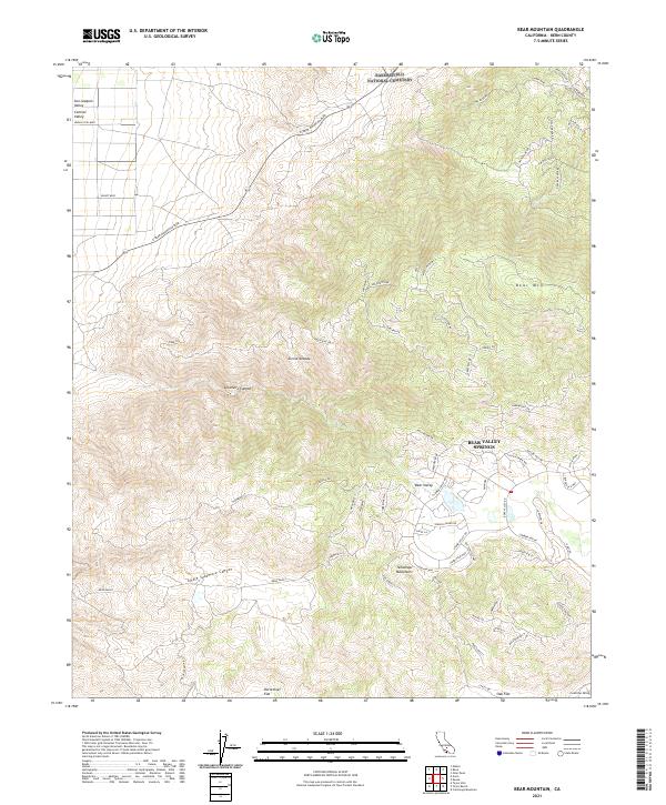
2021 Map of Bear Mountain
USGS Topo · Published 2021About this map
Bear Valley Springs serves as the focal point of this modern topographic study, where residential street networks weave through the transition between the Sierra Nevada and the Tehachapi Mountains. This high-altitude community is defined by its complex layout of named roads like Silver Creek Way and Butterfield Way, contrasting sharply with the undeveloped slopes of Bear Mtn to the north.
Find a feature on this map
72 named features on this map. Tap any name to fly to it.
Don’t see what you’re looking for? This feature index may not catch every label — zoom into the map to look around manually.
Map Details
Editions of this 2021 Bear Mountain Map
This is the sole edition of this map. No revisions or reprints were ever made.
Other maps of this area

1914 · Caliente
USGS Topo · 1:125,000

1929 · Bena
USGS Topo · 1:31,680

1930 · Bear Mountain
USGS Topo · 1:31,680

1930 · Arvin
USGS Topo · 1:31,680

1931 · Edison
USGS Topo · 1:31,680

1931 · Tejon Hills
USGS Topo · 1:31,680

1932 · Bena
USGS Topo · 1:31,680

1933 · Arvin
USGS Topo · 1:31,680

1933 · Tejon Hills
USGS Topo · 1:31,680

1933 · Bear Mountain
USGS Topo · 1:31,680