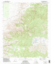
1992 Map of Bear Mountain
USGS Topo · Published 1995About this map
Bear Mountain dominates this portion of Kern County, rising above a landscape defined by significant infrastructure and rugged land grants. The map captures the transition from the lowlands of El Tejon to the elevated reaches of Bear Valley, where a network of pipelines and 4wd tracks suggests a working landscape focused on resource management and utilities.
Find a feature on this map
14 named features on this map. Tap any name to fly to it.
Don’t see what you’re looking for? This feature index may not catch every label — zoom into the map to look around manually.
Map Details
Editions of this 1992 Bear Mountain Map
This is the sole edition of this map. No revisions or reprints were ever made.
Other maps of this area
1914 · Caliente
USGS Topo · 1:125,000
1929 · Bena
USGS Topo · 1:31,680
1930 · Bear Mountain
USGS Topo · 1:31,680
1930 · Arvin
USGS Topo · 1:31,680
1931 · Edison
USGS Topo · 1:31,680
1931 · Tejon Hills
USGS Topo · 1:31,680
1932 · Bena
USGS Topo · 1:31,680
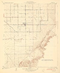
1933 · Arvin
USGS Topo · 1:31,680
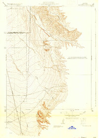
1933 · Tejon Hills
USGS Topo · 1:31,680
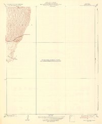
1933 · Bear Mountain
USGS Topo · 1:31,680