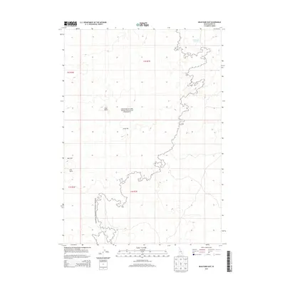
2013 Map of Bear Park East
USGS Topo · Published 2013About this map
Craters of the Moon National Preserve dominates this volcanic landscape in Blaine County, capturing a region defined by ancient geological activity. The terrain is characterized by the massive Great Rift and prominent cinder cones such as New Butte and Park Butte. This 2013 survey illustrates the stark intersection of natural basaltic formations and essential high-desert water management, as seen at the Deadhorse Reservoir in the northeastern corner. The map traces the intricate boundary of the national preserve as it winds through sections of Bear Park, providing a precise record of federal land management and volcanic topography in southern Idaho during the early 21st century.
Find a feature on this map
10 named features on this map. Tap any name to fly to it.
Don’t see what you’re looking for? This feature index may not catch every label — zoom into the map to look around manually.
Map Details
Editions of this 2013 Bear Park East Map
This is the sole edition of this map. No revisions or reprints were ever made.
Other maps of this area

1955 · Idaho Falls
USGS Topo · 1:250,000

1958 · Idaho Falls
USGS Topo · 1:250,000

1972 · Antelope Lake
USGS Topo · 1:24,000

1972 · Mule Butte
USGS Topo · 1:24,000

1972 · Pratt Butte
USGS Topo · 1:24,000

1972 · Bear Park SW
USGS Topo · 1:24,000

1972 · Mosby Butte
USGS Topo · 1:24,000

1972 · Bear Park East
USGS Topo · 1:24,000

1972 · Bear Park West
USGS Topo · 1:24,000

1972 · Serviceberry Butte
USGS Topo · 1:24,000