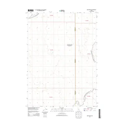
2013 Map of Bear Park SW
USGS Topo · Published 2013About this map
Craters of the Moon National Preserve dominates the landscape of this high desert region in southern Idaho. The map illustrates the volcanic topography and expansive lava fields that characterize this protected area, situated along the shared boundary of Minidoka Co and Blaine Co. This 2013 survey provides a detailed look at the Public Land Survey System (PLSS) grid, marking townships from T3S to T5S and ranges R25E to R26E. While largely devoid of modern settlements or major infrastructure, the terrain is defined by its distinct contour intervals that reveal the complex volcanic formations within the national preserve, a site of significant geological and natural interest.
Find a feature on this map
8 named features on this map. Tap any name to fly to it.
Don’t see what you’re looking for? This feature index may not catch every label — zoom into the map to look around manually.
Map Details
Editions of this 2013 Bear Park SW Map
This is the sole edition of this map. No revisions or reprints were ever made.
Other maps of this area

1954 · Pocatello
USGS Topo · 1:250,000

1955 · Idaho Falls
USGS Topo · 1:250,000

1958 · Idaho Falls
USGS Topo · 1:250,000

1958 · Pocatello
USGS Topo · 1:250,000

1972 · Bear Trap Cave
USGS Topo · 1:24,000

1972 · Mule Butte
USGS Topo · 1:24,000

1972 · Bear Park SW
USGS Topo · 1:24,000

1972 · Bear Den Butte
USGS Topo · 1:24,000

1972 · Bear Park East
USGS Topo · 1:24,000

1972 · Bottleneck Lake
USGS Topo · 1:24,000