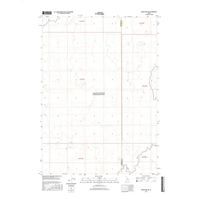
2017 Map of Bear Park SW
USGS Topo · Published 2017About this map
Craters of the Moon National Monument dominates this southern Idaho landscape, a place defined by its distinct volcanic topography and absence of traditional human settlements. The map illustrates the complex boundary between Minidoka County and Blaine County, cutting through a terrain characterized by subtle elevation changes and an intricate network of township and range lines including t4s r25e and t5s r26e. This 2017 study captures the modern preservation of these volcanic fields, where the lack of roads and named surface water reflects the preservationist priorities of the National Monument system. It offers a detailed look at the sectioned public lands within this protected interior, serving as a clean record of the area's geological and administrative divisions.
Find a feature on this map
8 named features on this map. Tap any name to fly to it.
Don’t see what you’re looking for? This feature index may not catch every label — zoom into the map to look around manually.
Map Details
Editions of this 2017 Bear Park SW Map
This is the sole edition of this map. No revisions or reprints were ever made.
Other maps of this area

1954 · Pocatello
USGS Topo · 1:250,000

1955 · Idaho Falls
USGS Topo · 1:250,000

1958 · Idaho Falls
USGS Topo · 1:250,000

1958 · Pocatello
USGS Topo · 1:250,000

1972 · Bear Trap Cave
USGS Topo · 1:24,000

1972 · Mule Butte
USGS Topo · 1:24,000

1972 · Bear Park SW
USGS Topo · 1:24,000

1972 · Bear Den Butte
USGS Topo · 1:24,000

1972 · Bear Park East
USGS Topo · 1:24,000

1972 · Bottleneck Lake
USGS Topo · 1:24,000