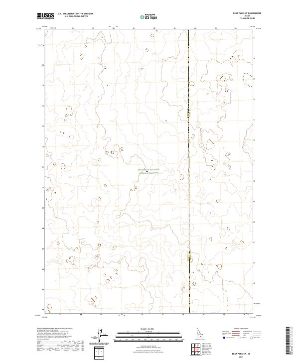
2023 Map of Bear Park SW
USGS Topo · Published 2023About this map
Craters of the Moon National Preserve dominates this high-desert landscape in southern Idaho, where volcanic geology and modern administrative boundaries intersect. The map documents a desolate portion of the Snake River Plain, defined by the north-south dividing line between Minidoka Co and Blaine Co. This area is characterized by intricate contour patterns that represent the complex lava flows and volcanic features typical of this volcanic field. Unlike more developed regions, the map shows an absence of established roads or permanent settlements, focusing instead on the legal and topographic framework of the Public Land Survey System, including townships like t4s r25e and t5s r26e. It serves as a modern record of one of the most geologically significant landscapes in the Pacific Northwest.
Find a feature on this map
8 named features on this map. Tap any name to fly to it.
Don’t see what you’re looking for? This feature index may not catch every label — zoom into the map to look around manually.
Map Details
Editions of this 2023 Bear Park SW Map
This is the sole edition of this map. No revisions or reprints were ever made.
Other maps of this area

1954 · Pocatello
USGS Topo · 1:250,000

1955 · Idaho Falls
USGS Topo · 1:250,000

1958 · Idaho Falls
USGS Topo · 1:250,000

1958 · Pocatello
USGS Topo · 1:250,000

1972 · Bear Trap Cave
USGS Topo · 1:24,000

1972 · Mule Butte
USGS Topo · 1:24,000

1972 · Bear Park SW
USGS Topo · 1:24,000

1972 · Bear Den Butte
USGS Topo · 1:24,000

1972 · Bear Park East
USGS Topo · 1:24,000

1972 · Bottleneck Lake
USGS Topo · 1:24,000