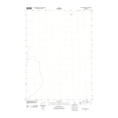
2010 Map of Bear Park West
USGS Topo · Published 2010About this map
Coyote Butte stands as a primary landmark in this section of Blaine County, where the landscape is defined by vast volcanic features of the Snake River Plain. This 2010 survey by the U.S. Geological Survey maps a sparsely populated region of Idaho, where the primary geographic interest lies in the subtle elevation changes of the buttes and the expansive lava fields. The sparse label data reflects the open, uncultivated character of the high desert at this time, offering a clear view of the natural terrain before modern development or intensive infrastructure altered the corridor.
Find a feature on this map
1 named feature on this map. Tap any name to fly to it.
Don’t see what you’re looking for? This feature index may not catch every label — zoom into the map to look around manually.
Map Details
Editions of this 2010 Bear Park West Map
This is the sole edition of this map. No revisions or reprints were ever made.
Other maps of this area

1955 · Idaho Falls
USGS Topo · 1:250,000

1958 · Idaho Falls
USGS Topo · 1:250,000

1972 · North Laidlaw Butte
USGS Topo · 1:24,000

1972 · Mule Butte
USGS Topo · 1:24,000

1972 · Pratt Butte
USGS Topo · 1:24,000

1972 · Bear Park SW
USGS Topo · 1:24,000

1972 · Bear Den Butte
USGS Topo · 1:24,000

1972 · Bear Park East
USGS Topo · 1:24,000

1972 · Bottleneck Lake
USGS Topo · 1:24,000

1972 · Bear Park West
USGS Topo · 1:24,000