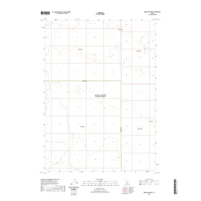
2020 Map of Bear Park West
USGS Topo · Published 2020About this map
Craters Of The Moon National Preserve occupies a significant portion of this landscape, marking a transition into the unique volcanic geography of southern Idaho. The map documents the boundary between Blaine County and Minidoka County, cutting through a region defined by arid flats and volcanic features. To the northeast, the Great Rift indicates the deep fissures associated with the area's eruptive past, while the presence of Gerity Reservoir highlights the critical role of water management in this high-desert environment. Further south, the terrain opens into Bear Park, while Coyote Butte stands as a prominent landmark in the northern reaches. This 2020 survey provides a modern view of the Public Land Survey System grid, including Township 2 South, Range 25 East, in an area where wilderness protection and administrative boundaries intersect.
Find a feature on this map
11 named features on this map. Tap any name to fly to it.
Don’t see what you’re looking for? This feature index may not catch every label — zoom into the map to look around manually.
Map Details
Editions of this 2020 Bear Park West Map
This is the sole edition of this map. No revisions or reprints were ever made.
Other maps of this area

1955 · Idaho Falls
USGS Topo · 1:250,000

1958 · Idaho Falls
USGS Topo · 1:250,000

1972 · North Laidlaw Butte
USGS Topo · 1:24,000

1972 · Mule Butte
USGS Topo · 1:24,000

1972 · Pratt Butte
USGS Topo · 1:24,000

1972 · Bear Park SW
USGS Topo · 1:24,000

1972 · Bear Den Butte
USGS Topo · 1:24,000

1972 · Bear Park East
USGS Topo · 1:24,000

1972 · Bottleneck Lake
USGS Topo · 1:24,000

1972 · Bear Park West
USGS Topo · 1:24,000