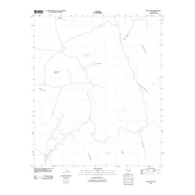
2010 Map of Bear Peak
USGS Topo · Published 2010About this map
Bear Peak and the high desert terrain of the San Andres Mountains define this arid landscape in New Mexico. The area is marked by a network of drainage canyons and scattered water sources essential for survival in the region, including Ash Spring, Salinas Spring, and San Nicholas Spring. The human footprint is sparse but specific, illustrated by the Gravelly Ridges Artificial Revegetation Plot, which indicates twentieth-century land management and environmental research efforts.
Find a feature on this map
19 named features on this map. Tap any name to fly to it.
Don’t see what you’re looking for? This feature index may not catch every label — zoom into the map to look around manually.
Map Details
Editions of this 2010 Bear Peak Map
This is the sole edition of this map. No revisions or reprints were ever made.
Other maps of this area

1891 · Las Cruces
USGS Topo · 1:125,000

1893 · Las Cruces
USGS Topo · 1:125,000

1916 · Tonuco
USGS Topo · 1:125,000

1916 · Point Of Sands
USGS Topo · 1:125,000

1932 · Tonuco
USGS Topo · 1:125,000

1941 · Organ Peak
USGS Topo · 1:62,500

1943 · Parker Lake
USGS Topo · 1:62,500

1943 · Organ Peak
USGS Topo · 1:62,500

1947 · Lake Lucero
USGS Topo · 1:62,500

1948 · Bear Peak
USGS Topo · 1:62,500