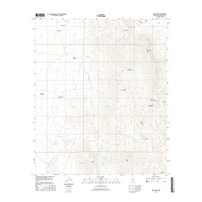
2017 Map of Bear Peak
USGS Topo · Published 2017About this map
The San Andres Mountains dominate this high-desert landscape in Doña Ana County, where sharp vertical relief is defined by peaks like Bear Peak and Quartz Mtn. This arid region relies on a network of isolated water sources for livestock and survival, including historic catchments like Yarbrough Reservoir and natural flows at Gardner Spring and Salinas Spring. The topography reveals a complex system of drainage across Ragged Tank Flat and through deeply incised features such as Little San Nicholas Canyon and Ash Canyon. The distribution of these tanks and springs, from Mountain Tank to the Divide Tanks, illustrates the vital infrastructure required for ranching in this demanding environment, while landmarks like Goat Mtn and Big Brushy Mtn serve as significant navigational anchors in the wilderness.
Find a feature on this map
34 named features on this map. Tap any name to fly to it.
Don’t see what you’re looking for? This feature index may not catch every label — zoom into the map to look around manually.
Map Details
Editions of this 2017 Bear Peak Map
This is the sole edition of this map. No revisions or reprints were ever made.
Other maps of this area

1891 · Las Cruces
USGS Topo · 1:125,000

1893 · Las Cruces
USGS Topo · 1:125,000

1916 · Tonuco
USGS Topo · 1:125,000

1916 · Point Of Sands
USGS Topo · 1:125,000

1932 · Tonuco
USGS Topo · 1:125,000

1941 · Organ Peak
USGS Topo · 1:62,500

1943 · Parker Lake
USGS Topo · 1:62,500

1943 · Organ Peak
USGS Topo · 1:62,500

1947 · Lake Lucero
USGS Topo · 1:62,500

1948 · Bear Peak
USGS Topo · 1:62,500