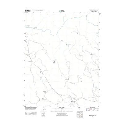
2012 Map of Bear Valley
USGS Topo · Published 2012About this map
Bear Valley sits at the heart of this landscape, where the foothills meet a complex network of drainages and peaks within Mariposa County. The terrain is defined by prominent elevations such as Bullion Mountain and Fremont Peak, leading down toward the deep canyons of the Merced River and its northern fork. Local aviation and correctional history is evident in the presence of the Mariposa-Yosemite Airport and the Mount Bullion Youth Conservation Camp located near Mount Bullion. The map reveals a transition from traditional ranching and mining-era landmarks like Mount Ophir and Whiskey Flat to more contemporary developments such as Trabuco Gardens and Pendola Gardens. A dense network of local roads including Old Toll Rd and Mt Bullion Access Rd suggests a landscape shaped by historical transit routes that followed the natural contours of the various gulches, including the colorfully named Drunken Gulch and Norwegian Gulch.
Find a feature on this map
61 named features on this map. Tap any name to fly to it.
Don’t see what you’re looking for? This feature index may not catch every label — zoom into the map to look around manually.
Map Details
Editions of this 2012 Bear Valley Map
This is the sole edition of this map. No revisions or reprints were ever made.
Other maps of this area

1893 · Sonora
USGS Topo · 1:125,000

1896 · Sonora
USGS Topo · 1:125,000

1897 · Sonora
USGS Topo · 1:125,000

1897 · Yosemite
USGS Topo · 1:125,000

1898 · Sonora
USGS Topo · 1:125,000

1900 · Yosemite
USGS Topo · 1:125,000

1903 · Yosemite
USGS Topo · 1:125,000

1909 · Yosemite
USGS Topo · 1:125,000

1912 · Mariposa
USGS Topo · 1:125,000

1919 · Indian Gulch
USGS Topo · 1:48,000