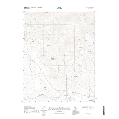
2018 Map of Bear Valley
USGS Topo · Published 2018About this map
The community of Bear Valley sits at a crossroads of California gold country history, surrounded by a landscape of steeply incised drainages and prominent peaks. The northern edge of the map is defined by the winding course of the Merced River and its N Fork, where names like McCabe Flat and Good Gulch reflect the era's mining and settlement patterns. Further south, the terrain rises toward Fremont Peak and Bullion Mtn, landmarks associated with the early development of Mariposa County.
Find a feature on this map
64 named features on this map. Tap any name to fly to it.
Don’t see what you’re looking for? This feature index may not catch every label — zoom into the map to look around manually.
Map Details
Editions of this 2018 Bear Valley Map
This is the sole edition of this map. No revisions or reprints were ever made.
Other maps of this area

1893 · Sonora
USGS Topo · 1:125,000

1896 · Sonora
USGS Topo · 1:125,000

1897 · Sonora
USGS Topo · 1:125,000

1897 · Yosemite
USGS Topo · 1:125,000

1898 · Sonora
USGS Topo · 1:125,000

1900 · Yosemite
USGS Topo · 1:125,000

1903 · Yosemite
USGS Topo · 1:125,000

1909 · Yosemite
USGS Topo · 1:125,000

1912 · Mariposa
USGS Topo · 1:125,000

1919 · Indian Gulch
USGS Topo · 1:48,000