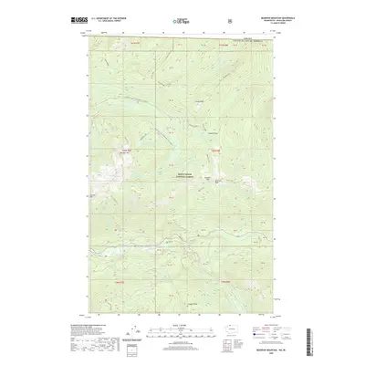
2020 Map of Bearpaw Mountain
USGS Topo · Published 2020About this map
Mount Baker National Forest dominates this high-altitude landscape along the international border, where the North Fork Nooksack River carves through the southern portion of the quadrangle. The terrain is defined by prominent ridges and summits, including Bearpaw Mtn, Church Mtn, and Cowap Peak. This modern topographic study illustrates a wilderness area structured by natural drainage basins like Canyon Cr and Wells Cr, punctuated by isolated alpine water bodies such as Canyon Lake and the Damfino Lakes. Human access is primarily limited to high-country routes like the Canyon Creek Snowmobile 31 (Snow) and the Bearpaw Lake Snowmobile 3170 (Snow) trail, alongside notable geographic markers such as Excelsior Pass and the High Divide. The map provides an exacting look at the hydrological network feeding the Nooksack, from Whistler Cr to Deadhorse Cr.
Find a feature on this map
54 named features on this map. Tap any name to fly to it.
Don’t see what you’re looking for? This feature index may not catch every label — zoom into the map to look around manually.
Map Details
Editions of this 2020 Bearpaw Mountain Map
This is the sole edition of this map. No revisions or reprints were ever made.
Other maps of this area

1909 · Mt Baker
USGS Topo · 1:192,000

1915 · Mt. Baker
USGS Topo · 1:250,000

1952 · Mt. Baker
USGS Topo · 1:62,500

1953 · Mt Shuksan
USGS Topo · 1:62,500

1955 · Concrete
USGS Topo · 1:250,000

1958 · Concrete
USGS Topo · 1:250,000

1962 · Concrete
USGS Topo · 1:250,000

1979 · Mt. Baker
USGS Topo · 1:100,000
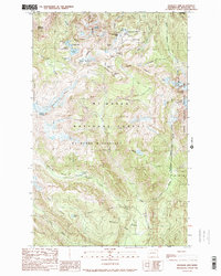
1989 · Shuksan Arm
USGS Topo · 1:24,000
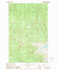
1989 · Groat Mountain
USGS Topo · 1:24,000