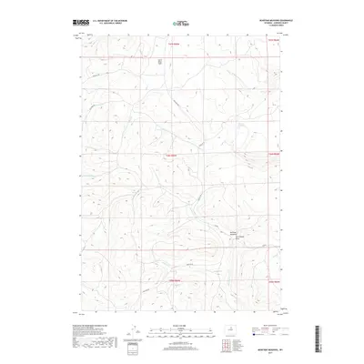
2017 Map of Beartrap Meadows
USGS Topo · Published 2017About this map
Beartrap Meadows and the surrounding high-altitude drainage systems of Johnson County are the central focus of this 2017 survey. The landscape is defined by its seasonal water sources and named geographic flats, including Uncle Billys Flats and the nearby Larramandy Draw. The area's water management is evidenced by the Simmon Reservoir and the presence of Big Spring, which feed into a complex network of tributaries such as Billy Cr, Beartrap Cr, and Sawmill Cr.
Find a feature on this map
23 named features on this map. Tap any name to fly to it.
Don’t see what you’re looking for? This feature index may not catch every label — zoom into the map to look around manually.
Map Details
Editions of this 2017 Beartrap Meadows Map
This is the sole edition of this map. No revisions or reprints were ever made.
Other maps of this area

1899 · Cloud peak
USGS Topo · 1:125,000

1900 · Fort McKinney
USGS Topo · 1:125,000

1901 · Cloud Peak
USGS Topo · 1:125,000

1903 · Fort McKinney
USGS Topo · 1:125,000

1955 · Sheridan
USGS Topo · 1:250,000

1955 · Arminto
USGS Topo · 1:250,000

1958 · Sheridan
USGS Topo · 1:250,000

1958 · Arminto
USGS Topo · 1:250,000

1962 · Sheridan
USGS Topo · 1:250,000

1962 · Arminto
USGS Topo · 1:250,000