
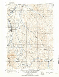
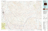
1962 Map of Sheridan
USGS Topo · Published 1962About this map
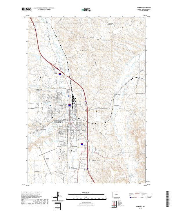
The Big Horn Mountains dominate this early 1960s landscape, rising sharply between the Bighorn Basin to the west and the rolling plains around Sheridan to the east. This era shows a region balanced between its agricultural roots and an emerging energy sector, with Coal mines and the Kleenburn Coal Tipple signifying the area's industrial history. Further south, the Big Horn Sulphur Plant near Worland marks the expansion of mineral extraction in the basin.
Find a feature on this map
98 named features on this map. Tap any name to fly to it.
Don’t see what you’re looking for? This feature index may not catch every label — zoom into the map to look around manually.
Map Details
Editions of this 1962 Sheridan Map
This is the sole edition of this map. No revisions or reprints were ever made.
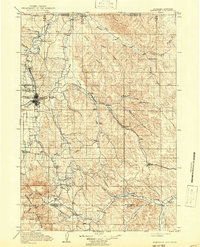
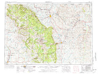
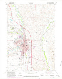
Historical Maps of Sheridan Through Time
11 maps found
1909 Sheridan
Sheridan County, WY
1911 Sheridan
Sheridan County, WY
1955 Sheridan
Sheridan County, WY

1958 Sheridan
Sheridan County, WY
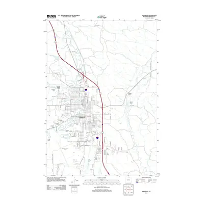
1962 Sheridan
Sheridan County, WY
1968 Sheridan
Sheridan County, WY
1979 Sheridan
Sheridan County, WY
2012 Sheridan
Sheridan County, WY
2015 Sheridan
Sheridan County, WY
2017 Sheridan
Sheridan County, WY
2021 Sheridan
Sheridan County, WY