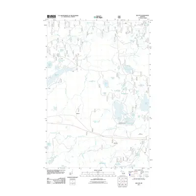
2011 Map of Beaton
USGS Topo · Published 2011About this map
Beaton is a small settlement point within this glaciated reach of the Upper Peninsula, characterized by an exceptionally dense concentration of named lakes and interconnected waterways. The landscape is defined by the Middle Branch Ontonagon River, which drains a complex basin including Wolf Lake, Ogima Lake, and Cowslip Lake. In the southern portion of the sheet, the Watersmeet Lookout Tower stands as a prominent landmark for forest management, while the Northwoods Center Conference Airport serves as a remote aviation link. Recreational development is evident through the Ottawa Campground and numerous access points like Beaton Lake Rd and County Line Lake Rd. Smaller water bodies such as Hemlock Lake and Little Beatons Lake dot the northern terrain, indicating a landscape heavily utilized for seasonal outdoor activity and timber management.
Find a feature on this map
52 named features on this map. Tap any name to fly to it.
Don’t see what you’re looking for? This feature index may not catch every label — zoom into the map to look around manually.
Map Details
Editions of this 2011 Beaton Map
This is the sole edition of this map. No revisions or reprints were ever made.
Other maps of this area

1938 · Phelps
USGS Topo · 1:48,000

1946 · Star Lake
USGS Topo · 1:48,000

1950 · Phelps
USGS Topo · 1:48,000

1950 · Star Lake
USGS Topo · 1:48,000

1952 · Watersmeet
USGS Topo · 1:62,500

1952 · Thayer
USGS Topo · 1:62,500

1955 · Starlake
USGS Topo · 1:62,500

1956 · Phelps
USGS Topo · 1:62,500

1958 · Iron River
USGS Topo · 1:250,000

1960 · Iron River
USGS Topo · 1:250,000