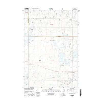
2014 Map of Beaton
USGS Topo · Published 2014About this map
The settlement of Beaton sits at the heart of this Northwoods landscape, where the dense hydrology of the Ottawa National Forest dominates the terrain. This portion of the Upper Peninsula is defined by an intricate network of glacial lakes and small waterways, including the significant Beatons Lake and the winding Twomile Creek. The map shows a region shaped by its water resources, from the larger Wolf Lake and Sucker Lake to the headwaters of the Middle Branch Ontonagon River. Transportation through this timbered area is anchored by US Highway 2, which cuts across the southern sections, and specialized infrastructure like the Northwoods Airport. The boundary between Gogebic and Ontonagon counties runs through the northern reaches, marking a quiet border through forests dotted with smaller basins like Hemlock Lake and Damon Lake.
Find a feature on this map
62 named features on this map. Tap any name to fly to it.
Don’t see what you’re looking for? This feature index may not catch every label — zoom into the map to look around manually.
Map Details
Editions of this 2014 Beaton Map
This is the sole edition of this map. No revisions or reprints were ever made.
Other maps of this area

1938 · Phelps
USGS Topo · 1:48,000

1946 · Star Lake
USGS Topo · 1:48,000

1950 · Phelps
USGS Topo · 1:48,000

1950 · Star Lake
USGS Topo · 1:48,000

1952 · Watersmeet
USGS Topo · 1:62,500

1952 · Thayer
USGS Topo · 1:62,500

1955 · Starlake
USGS Topo · 1:62,500

1956 · Phelps
USGS Topo · 1:62,500

1958 · Iron River
USGS Topo · 1:250,000

1960 · Iron River
USGS Topo · 1:250,000