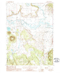
1988 Map of Beatty
USGS Topo · Published 1988About this map
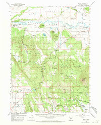
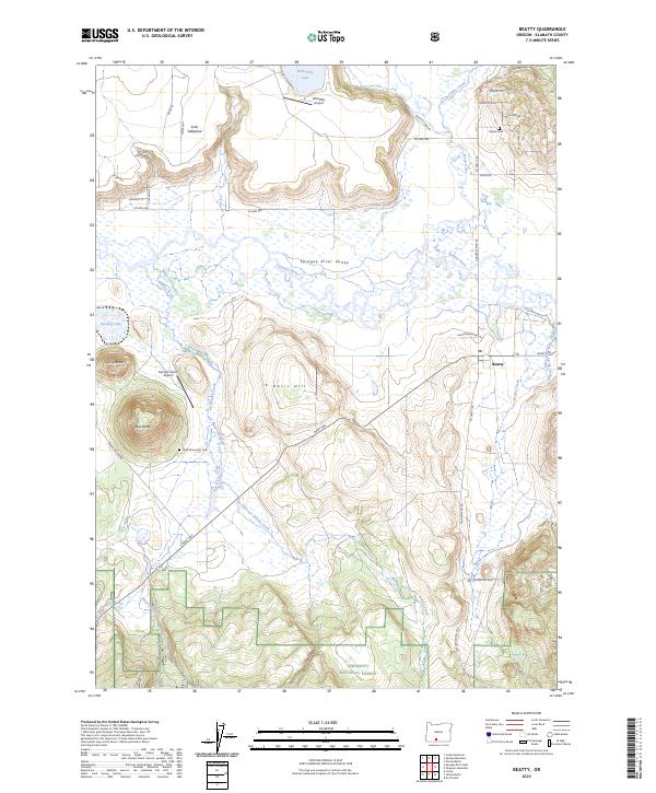
Beatty serves as a central hub in this high-desert landscape of the late 1980s, situated where the Sprague River meanders through the expansive Sprague River Valley. The region’s economic and logistical identity is defined by the Logging Railroad and the nearby Beatty Station, indicating the historical importance of the timber industry in south-central Oregon. Transitioning from the valley floor, the terrain rises into the Knot Tableland to the north and the timberlands of the Winema National Forest and Fremont National Forest to the south.
Find a feature on this map
26 named features on this map. Tap any name to fly to it.
Don’t see what you’re looking for? This feature index may not catch every label — zoom into the map to look around manually.
Map Details
Editions of this 1988 Beatty Map
This is the sole edition of this map. No revisions or reprints were ever made.
Historical Maps of Beatty Through Time
8 maps found