Loading...
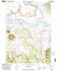
Loading map...1998 Map of Beatty
USGS Topo · Published 2000About this map
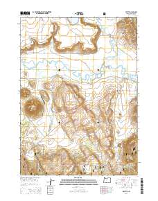
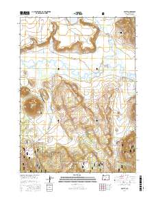
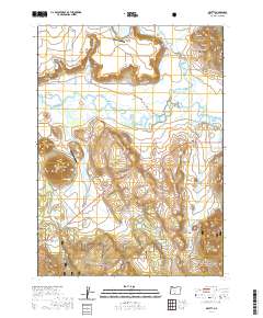
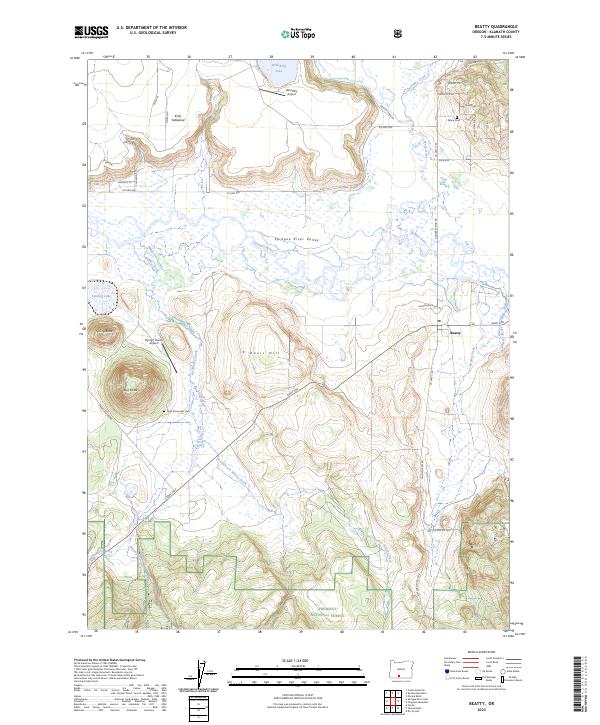
The Sprague River Valley serves as the focal point of this late-20th-century landscape, where the meandering Sprague River and the Sycan River converge. The settlement of Beatty and the nearby Beatty Station mark the primary hubs of activity in this high-desert basin. To the north, the elevation rises sharply toward the Knot Tableland, while prominent volcanic features like Spring Butte and Bad Butte rise from the valley floor.
Find a feature on this map
26 named features on this map. Tap any name to fly to it.
Don’t see what you’re looking for? This feature index may not catch every label — zoom into the map to look around manually.
Map Details
Date Portrayed1998
Date Published2000
PublisherU.S. Geological Survey
Map TypeTopographic
Scale1:24,000
Physical Dimensions21.9 x 26.7 inches
Editions of this 1998 Beatty Map
This is the sole edition of this map. No revisions or reprints were ever made.
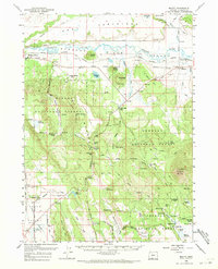
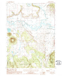
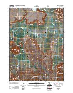
Historical Maps of Beatty Through Time
8 maps found
Featured Locations
Source Details
SourceU.S. Geological Survey
CopyrightPublic Domain