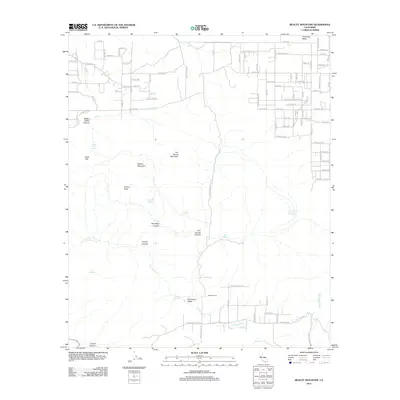
2012 Map of Beauty Mountain
USGS Topo · Published 2012About this map
Beauty Mountain and Beauty Peak dominate this high-desert landscape in northern San Diego County, marking a terrain of dramatic canyons and scattered water sources. The area is defined by its deep drainages, including Million Dollar Canyon and Talmadge Canyon, which flow toward the southern valleys. Settlement is sparse, concentrated primarily in the north at Terwilliger Valley and in the south within Chihuahua Valley, where Mitchell Camp and Adobe Springs are located. This 2012 survey illustrates a rugged ranching and conservation landscape where seasonal water is critical, as evidenced by several named springs like Iron Spring and Dick Spring. The southern portion of the map follows the course of Chihuahua Cr as it makes its way toward the San Luis Rey River, which cuts across the far southeastern corner.
Find a feature on this map
105 named features on this map. Tap any name to fly to it.
Don’t see what you’re looking for? This feature index may not catch every label — zoom into the map to look around manually.
Map Details
Editions of this 2012 Beauty Mountain Map
This is the sole edition of this map. No revisions or reprints were ever made.
Other maps of this area

1901 · Southern California Sheet No. 1
USGS Topo · 1:250,000

1901 · San Jacinto
USGS Topo · 1:125,000

1903 · Ramona
USGS Topo · 1:125,000

1904 · Southern California Sheet No. 2
USGS Topo · 1:250,000

1904 · Southern California Sheet No. 1
USGS Topo · 1:250,000

1939 · Warner Springs
USGS Topo · 1:62,500

1939 · Palomar Mountain
USGS Topo · 1:62,500

1940 · Hemet Reservoir
USGS Topo · 1:62,500

1942 · Hemet Reservoir
USGS Topo · 1:62,500

1942 · Hemet
USGS Topo · 1:62,500