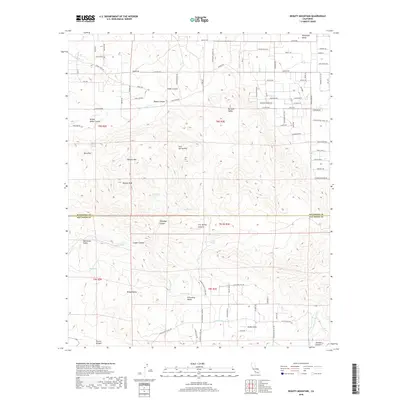
2018 Map of Beauty Mountain
USGS Topo · Published 2018About this map
Beauty Peak and the surrounding Beauty Mtn dominate this high-desert landscape along the boundary between Riverside and San Diego counties. The area is defined by its deep canyons and isolated water sources, vital for the region's agricultural and ranching history. Named canyons like Elder Canyon, Rogers Canyon, and Talmadge Canyon carve through the terrain, leading toward broader basins such as Chihuahua Valley and Dodge Valley. Scattered throughout are essential watering holes and springs, including Adobe Springs, Dick Spring, and the curiously named Million Dollar Spring. To the south, the terrain descends toward Boden Field and the headwaters of the San Luis Rey River, while the northern portion is marked by the developed rural roads of Terwilliger Valley. The network of springs like Iron Spring and Talmadge Spring highlights the historic reliance on seasonal and permanent water sources in this arid stretch of Southern California.
Find a feature on this map
92 named features on this map. Tap any name to fly to it.
Don’t see what you’re looking for? This feature index may not catch every label — zoom into the map to look around manually.
Map Details
Editions of this 2018 Beauty Mountain Map
This is the sole edition of this map. No revisions or reprints were ever made.
Other maps of this area

1901 · Southern California Sheet No. 1
USGS Topo · 1:250,000

1901 · San Jacinto
USGS Topo · 1:125,000

1903 · Ramona
USGS Topo · 1:125,000

1904 · Southern California Sheet No. 2
USGS Topo · 1:250,000

1904 · Southern California Sheet No. 1
USGS Topo · 1:250,000

1939 · Warner Springs
USGS Topo · 1:62,500

1939 · Palomar Mountain
USGS Topo · 1:62,500

1940 · Hemet Reservoir
USGS Topo · 1:62,500

1942 · Hemet Reservoir
USGS Topo · 1:62,500

1942 · Hemet
USGS Topo · 1:62,500