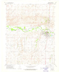
1986 Map of Beaver
USGS Topo · Published 1986About this map
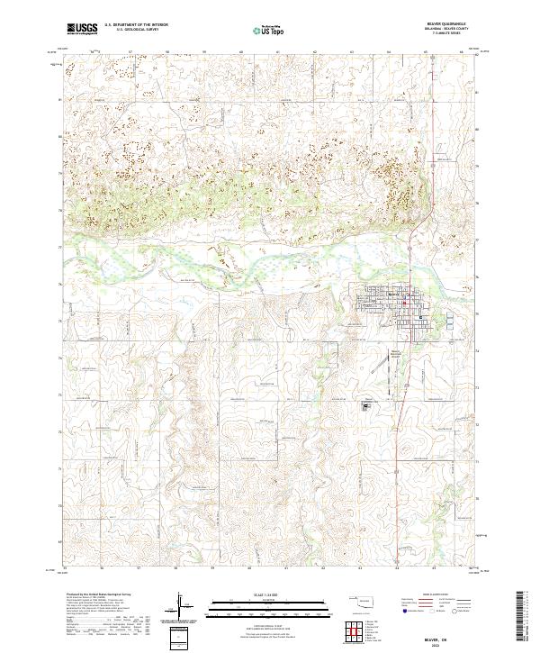
The Beaver River and Cimarron River cut through the high plains of the Oklahoma Panhandle in this mid-1980s survey. The landscape is defined by its vast Oil and Gas Fields, which punctuate the grid of section lines and gravel roads across Beaver County. Small agricultural settlements like Forgan, Turpin, and Knowles serve as hubs for the surrounding ranching and petroleum operations. Along the river bluffs, the Beaver Pioneer State Park preserves a rare break in the flat terrain, while the eastern edge near Gate shows the transition toward the rolling hills of the borderlands. This map records the industrial and civic layout of the region, from the Municipal Airport near the county seat to the outlying post offices at Elmwood and Slapout.
Find a feature on this map
50 named features on this map. Tap any name to fly to it.
Don’t see what you’re looking for? This feature index may not catch every label — zoom into the map to look around manually.
Map Details
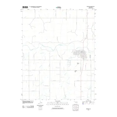
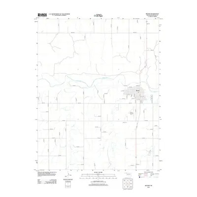
Editions of this 1986 Beaver Map
2 editions found
Historical Maps of Beaver Through Time
7 maps found