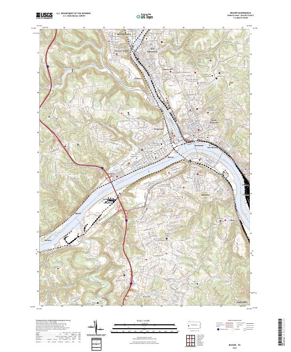
2023 Map of Beaver
USGS Topo · Published 2023About this map
The confluence of the Beaver River and Ohio River serves as the industrial and civic heart of this Western Pennsylvania landscape. The borough of Beaver, acting as the county seat, is anchored by the Beaver County Courthouse, while surrounding communities like Beaver Falls, Rochester, and Monaca demonstrate the dense settlement patterns characteristic of the valley's river-and-rail economy. Transportation infrastructure is prominent, with the Norfolk Southern Railway tracking the water's edge and the small Black Rock Airport situated on the heights to the east.
Find a feature on this map
127 named features on this map. Tap any name to fly to it.
Don’t see what you’re looking for? This feature index may not catch every label — zoom into the map to look around manually.
Map Details
Editions of this 2023 Beaver Map
This is the sole edition of this map. No revisions or reprints were ever made.
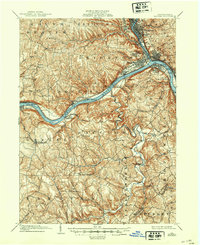
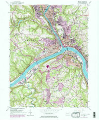
Historical Maps of Patterson Heights Through Time
4 maps found