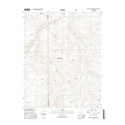
2016 Map of Beaver Creek Reservoir
USGS Topo · Published 2016About this map
Rio Grande National Forest dominates this high-altitude landscape, where the headwaters of the South Fork Rio Grande and Beaver Cr flow through the San Juan Mountains. The 2016 survey documents a network of highland basins and parks, including Goodrich Park, Kelly Park, and Coal Mine Park, which suggest a history of seasonal grazing and early prospecting. The map highlights significant water management and recreational features such as Beaver Creek Reservoir and Million Reservoir, alongside primitive routes like the Tewksberry Trail and Big Tree Trail. Unique geological formations like Handkerchief Mesa and Ribbon Mesa provide distinct landmarks for navigating the terrain between Grouse Mtn and Demijohn Peak. This record is particularly valuable for tracing the placement of remote mountain parks and the early forest service trail systems that connect the drainage of Little Beaver Cr to the southern high country around Poage Lake.
Find a feature on this map
41 named features on this map. Tap any name to fly to it.
Don’t see what you’re looking for? This feature index may not catch every label — zoom into the map to look around manually.
Map Details
Editions of this 2016 Beaver Creek Reservoir Map
This is the sole edition of this map. No revisions or reprints were ever made.
Other maps of this area

1913 · Summitville
USGS Topo · 1:125,000

1914 · Creede
USGS Topo · 1:125,000

1915 · Summitville
USGS Topo · 1:125,000

1916 · Creede
USGS Topo · 1:125,000

1945 · Durango
USGS Topo · 1:250,000

1953 · Durango
USGS Topo · 1:250,000

1954 · Durango
USGS Topo · 1:250,000

1957 · Wolf Creek Pass
USGS Topo · 1:62,500

1957 · Spar City
USGS Topo · 1:62,500

1961 · Durango
USGS Topo · 1:250,000