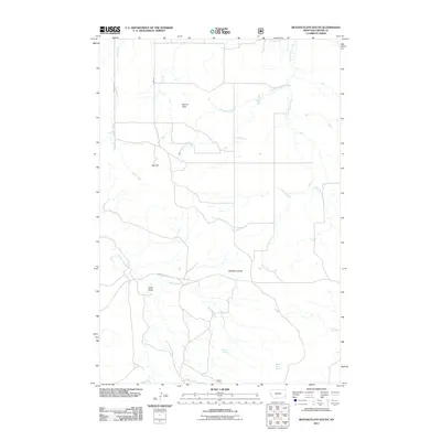
2011 Map of Beaver Flats South
USGS Topo · Published 2011About this map
Beaver Flats defines this portion of Carter County, Montana, where a vast network of drainage systems converges across the high plains. The terrain is punctuated by significant landmarks like Big Hill and Newberry Knob, offering essential navigation points in this open country. Water sources, vital for regional ranching and wildlife, are meticulously documented through features such as Bronco Sam Spring and Michael Spring. A sparse road network, including Powderville Rd, Sterns Rd, and Georgie S Rd, connects the distant corners of the landscape. The hydrological pattern is dominated by the winding paths of Little Beaver Creek, Sheep Camp Creek, and Ewalt Creek, which together with Hehn Draw illustrate the natural erosion and drainage of the Montana prairie.
Find a feature on this map
14 named features on this map. Tap any name to fly to it.
Don’t see what you’re looking for? This feature index may not catch every label — zoom into the map to look around manually.
Map Details
Editions of this 2011 Beaver Flats South Map
This is the sole edition of this map. No revisions or reprints were ever made.
Other maps of this area

1954 · Ekalaka
USGS Topo · 1:250,000

1956 · Ekalaka
USGS Topo · 1:250,000

1958 · Ekalaka
USGS Topo · 1:250,000

1965 · Ekalaka
USGS Topo · 1:250,000

1979 · Blacktail Creek SE
USGS Topo · 1:24,000

1979 · Board Corral Creek
USGS Topo · 1:24,000

1979 · Beaver Flats South
USGS Topo · 1:24,000

1979 · Dead Boy Divide
USGS Topo · 1:24,000

1979 · Chalk Buttes
USGS Topo · 1:24,000

1979 · Ekalaka
USGS Topo · 1:24,000