
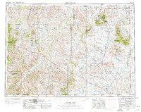
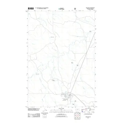
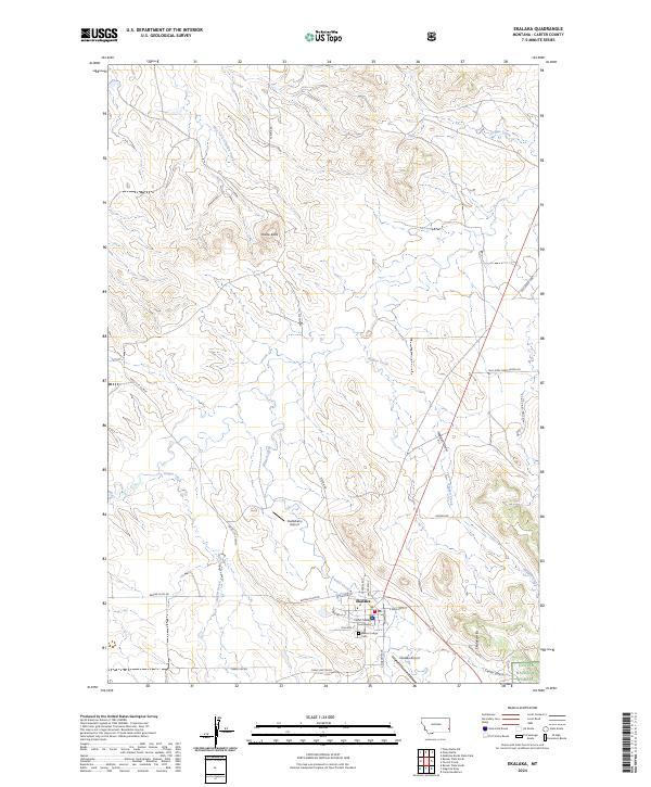
1965 Map of Ekalaka
USGS Topo · Published 1965About this map
The Powder River and its expansive network of tributaries, such as Mizpah Creek and Pumpkin Creek, define this vast stretch of the High Plains near the Montana, Wyoming, and South Dakota borders. In the mid-1950s, this landscape was a remote mosaic of ranching outposts and scattered rural infrastructure. Small settlements like Broadus, Coalwood, and Biddle serve as central points for a region where education was localized in numerous country schools, including Mitchell School, Bidwell School, and Peabody School.
Find a feature on this map
82 named features on this map. Tap any name to fly to it.
Don’t see what you’re looking for? This feature index may not catch every label — zoom into the map to look around manually.
Map Details
Editions of this 1965 Ekalaka Map
This is the sole edition of this map. No revisions or reprints were ever made.
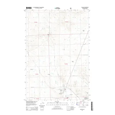
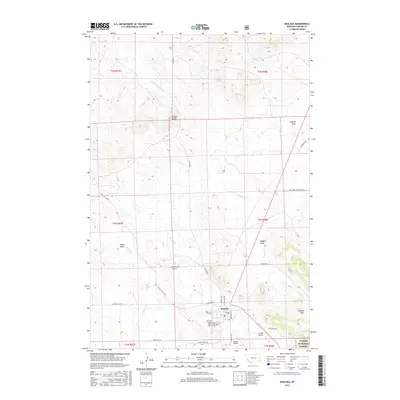
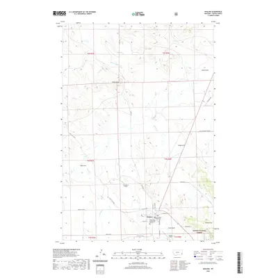
Historical Maps of Broadus Through Time
12 maps found
1954 Ekalaka
Carter County, MT

1956 Ekalaka
Carter County, MT

1958 Ekalaka
Carter County, MT
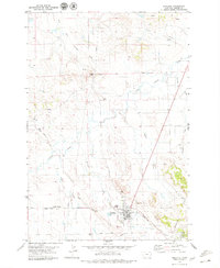
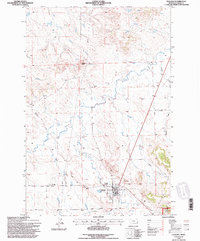
1965 Ekalaka
Carter County, MT
1979 Ekalaka
Carter County, MT
1982 Ekalaka
Carter County, MT
1993 Ekalaka
Carter County, MT
2011 Ekalaka
Carter County, MT
2014 Ekalaka
Carter County, MT
2017 Ekalaka
Carter County, MT
2020 Ekalaka
Carter County, MT
2024 Ekalaka
Carter County, MT