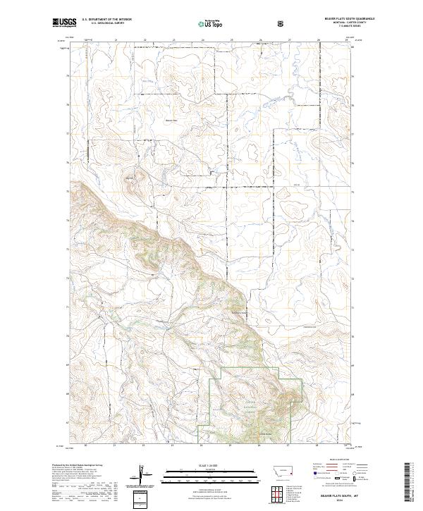
2024 Map of Beaver Flats South
USGS Topo · Published 2024About this map
Custer National Forest anchors the southern portion of this landscape, where the Chalk Buttes rise above the surrounding drainage basins. This modern topographic study reveals a high-plains environment defined by seasonal water sources and named landmarks that reflect early ranching and homesteading history. Notable water points such as Michael Spring and Bronco Sam Spring provide essential grounding for local-history researchers tracing land use in this part of Carter County.
Find a feature on this map
22 named features on this map. Tap any name to fly to it.
Don’t see what you’re looking for? This feature index may not catch every label — zoom into the map to look around manually.
Map Details
Editions of this 2024 Beaver Flats South Map
This is the sole edition of this map. No revisions or reprints were ever made.
Other maps of this area

1954 · Ekalaka
USGS Topo · 1:250,000

1956 · Ekalaka
USGS Topo · 1:250,000

1958 · Ekalaka
USGS Topo · 1:250,000

1965 · Ekalaka
USGS Topo · 1:250,000

1979 · Blacktail Creek SE
USGS Topo · 1:24,000

1979 · Board Corral Creek
USGS Topo · 1:24,000

1979 · Beaver Flats South
USGS Topo · 1:24,000

1979 · Dead Boy Divide
USGS Topo · 1:24,000

1979 · Chalk Buttes
USGS Topo · 1:24,000

1979 · Ekalaka
USGS Topo · 1:24,000