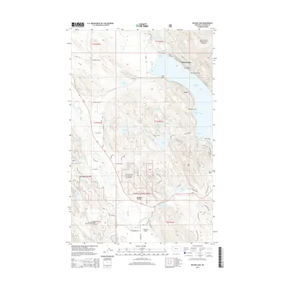
2014 Map of Beaver Lake
USGS Topo · Published 2014About this map
Vista sits along the Bnsf rail line in this corner of the Flathead Valley, representing a critical transport corridor through the northern Montana landscape. The area is characterized by a dense network of water bodies and dramatic topography, with the railroad navigating the varied elevations between Whitefish Lake and the Stillwater River. This 2014 survey documents the modern infrastructure of the Flathead National Forest, including numerous points and bays along the shoreline like Eagle Point, Inez Point, and Brush Bay. The map highlights the intersection of public forest lands and established transportation routes, where the rail network and highways like US-93 connect the high country to the valley floor near Round Prairie and Spencer Lake.
Find a feature on this map
2 named features on this map. Tap any name to fly to it.
Don’t see what you’re looking for? This feature index may not catch every label — zoom into the map to look around manually.
Map Details
Editions of this 2014 Beaver Lake Map
This is the sole edition of this map. No revisions or reprints were ever made.
Other maps of this area

1906 · Kintla Lakes
USGS Topo · 1:125,000

1913 · Stryker
USGS Topo · 1:125,000

1916 · Stryker
USGS Topo · 1:125,000

1938 · Kintla Lakes
USGS Topo · 1:125,000

1943 · Kalispell
USGS Topo · 1:125,000

1957 · Kalispell
USGS Topo · 1:250,000

1960 · Kalispell
USGS Topo · 1:250,000

1961 · Kalispell
USGS Topo · 1:250,000

1962 · Rose Crossing
USGS Topo · 1:24,000

1962 · Beaver Lake
USGS Topo · 1:24,000