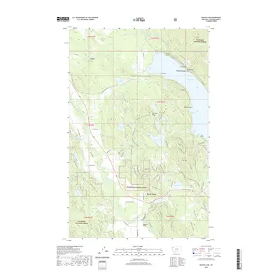
2020 Map of Beaver Lake
USGS Topo · Published 2020About this map
The Whitefish Range and its dense network of recreational trails define this landscape north of Whitefish Lake. This survey captures the complex trail systems within the Flathead National Forest, including the Whitefish Trail: N Beaver Lake and the Angry Beaver Lollipop, illustrating the region's evolution into a premier outdoor destination. Along the western edge of the lake, the BNSF Railway corridor passes through the Vista Tunnel near the settlement of Vista, a critical transit point for the Pacific Northwest rail network.
Find a feature on this map
106 named features on this map. Tap any name to fly to it.
Don’t see what you’re looking for? This feature index may not catch every label — zoom into the map to look around manually.
Map Details
Editions of this 2020 Beaver Lake Map
This is the sole edition of this map. No revisions or reprints were ever made.
Other maps of this area

1906 · Kintla Lakes
USGS Topo · 1:125,000

1913 · Stryker
USGS Topo · 1:125,000

1916 · Stryker
USGS Topo · 1:125,000

1938 · Kintla Lakes
USGS Topo · 1:125,000

1943 · Kalispell
USGS Topo · 1:125,000

1957 · Kalispell
USGS Topo · 1:250,000

1960 · Kalispell
USGS Topo · 1:250,000

1961 · Kalispell
USGS Topo · 1:250,000

1962 · Rose Crossing
USGS Topo · 1:24,000

1962 · Beaver Lake
USGS Topo · 1:24,000