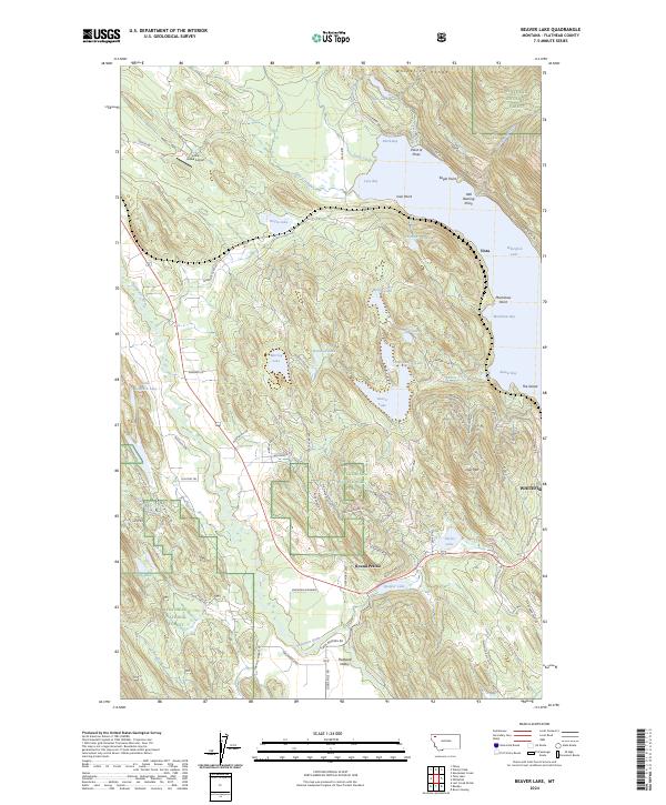
2024 Map of Beaver Lake
USGS Topo · Published 2024About this map
The Whitefish Range rises over a dense network of mountain waters and forest lands within the Flathead National Forest. This landscape is defined by its dramatic glacial topography, where prominent features like Lion Mtn and Eagle Point overlook a chain of lakes including Beaver Lake, Whitefish Lake, and Skyles Lake. The concentration of water bodies here suggests a long history of recreational and resource value, from the larger Mackinaw Bay to smaller pockets like Dollar Lake and Rainbow Lake.
Find a feature on this map
85 named features on this map. Tap any name to fly to it.
Don’t see what you’re looking for? This feature index may not catch every label — zoom into the map to look around manually.
Map Details
Editions of this 2024 Beaver Lake Map
This is the sole edition of this map. No revisions or reprints were ever made.
Other maps of this area

1906 · Kintla Lakes
USGS Topo · 1:125,000

1913 · Stryker
USGS Topo · 1:125,000

1916 · Stryker
USGS Topo · 1:125,000

1938 · Kintla Lakes
USGS Topo · 1:125,000

1943 · Kalispell
USGS Topo · 1:125,000

1957 · Kalispell
USGS Topo · 1:250,000

1960 · Kalispell
USGS Topo · 1:250,000

1961 · Kalispell
USGS Topo · 1:250,000

1962 · Rose Crossing
USGS Topo · 1:24,000

1962 · Beaver Lake
USGS Topo · 1:24,000