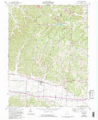
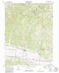
1961 Map of Beaver
USGS Topo · Published 1996About this map
The village of Beaver serves as the focal point of this Pike County landscape, situated at a transition between agricultural lowlands and the wooded rises of the Liberty State Wildlife Area. This 1961 survey captures a rural Ohio economy defined by small-scale extraction and community institutions, showing numerous strip mines and gravel pits scattered among long-established churches and cemeteries. The terrain is deeply dissected by drainages like Swift Creek and Pigeon Creek, which have carved numerous named hollows such as Buck Hollow and Dutch Hollow into the local topography.
Find a feature on this map
53 named features on this map. Tap any name to fly to it.
Don’t see what you’re looking for? This feature index may not catch every label — zoom into the map to look around manually.
Map Details
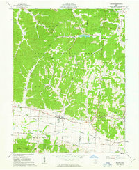
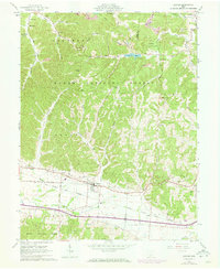
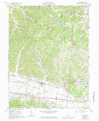
Editions of this 1961 Beaver Map
5 editions found
Other maps of this area

1906 · Waverly
USGS Topo · 1:62,500

1908 · Waverly
USGS Topo · 1:62,500

1911 · Sciotoville
USGS Topo · 1:62,500

1912 · Oak Hill
USGS Topo · 1:62,500

1913 · Sciotoville
USGS Topo · 1:62,500

1913 · Jackson
USGS Topo · 1:62,500

1944 · Jackson
USGS Topo · 1:62,500

1947 · Columbus
USGS Topo · 1:250,000

1957 · Huntington
USGS Topo · 1:250,000

1960 · Huntington
USGS Topo · 1:250,000