Loading...
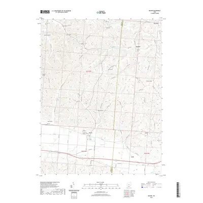
Loading map...1961 Map of Beaver
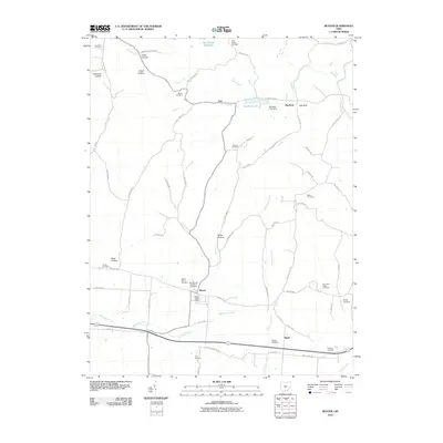
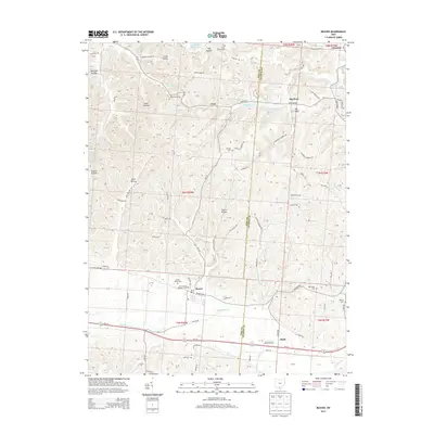
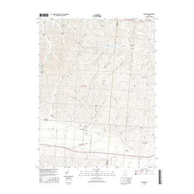
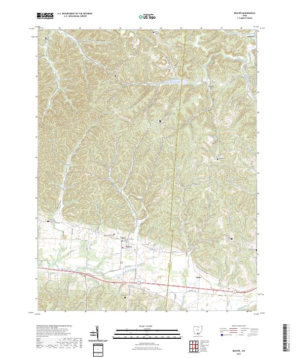
USGS Topo · Published 1995About this map
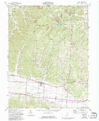
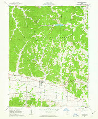
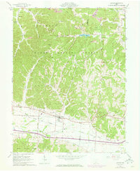
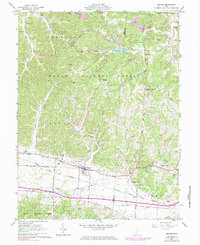
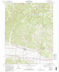
The village of Beaver serves as the focal point for this landscape, where the southern Ohio hill country transitions into the valley of the Scioto River. This 1961 survey, with later revisions in the 1970s and 1990s, documents a community deeply tied to its natural resources and local faith. The map reveals numerous country churches and burial grounds, such as Linn Hill Ch, Bethel Ch, and Beaver Union Cem, which anchor the rural settlement patterns along the ridges and hollows.
Find a feature on this map
55 named features on this map. Tap any name to fly to it.
Don’t see what you’re looking for? This feature index may not catch every label — zoom into the map to look around manually.
Map Details
Date Portrayed1961
Date Published1995
PublisherU.S. Geological Survey
Map TypeTopographic
Scale1:24,000
Physical Dimensions21.9 x 26.8 inches
Editions of this 1961 Beaver Map
5 editions found
Historical Maps of Beaver Through Time
6 maps found
Featured Locations
Source Details
SourceU.S. Geological Survey
CopyrightPublic Domain