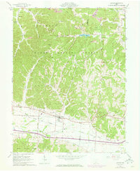
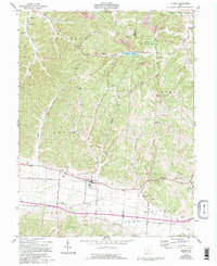
1961 Map of Beaver
USGS Topo · Published 1973About this map
Beaver and the surrounding township of Marion are defined by the winding corridor of the Detroit Toledo and Ironton Railroad, which snakes through the valley alongside Beaver Creek. The landscape transitions from the managed timberlands of the Wayne National Forest to active industrial sites, including numerous Strip Mines and gravel pits that punctuate the hillsides. The abundance of family-named landmarks and rural institutions, such as Linn Hill Ch and Barton Cem, reflects a deeply rooted community structure in this portion of Pike and Jackson counties.
Find a feature on this map
49 named features on this map. Tap any name to fly to it.
Don’t see what you’re looking for? This feature index may not catch every label — zoom into the map to look around manually.
Map Details
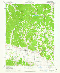
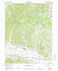
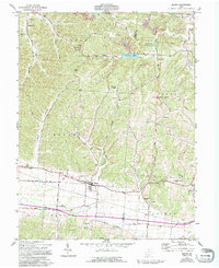
Editions of this 1961 Beaver Map
5 editions found
Other maps of this area

1906 · Waverly
USGS Topo · 1:62,500

1908 · Waverly
USGS Topo · 1:62,500

1911 · Sciotoville
USGS Topo · 1:62,500

1912 · Oak Hill
USGS Topo · 1:62,500

1913 · Sciotoville
USGS Topo · 1:62,500

1913 · Jackson
USGS Topo · 1:62,500

1944 · Jackson
USGS Topo · 1:62,500

1947 · Columbus
USGS Topo · 1:250,000

1957 · Huntington
USGS Topo · 1:250,000

1960 · Huntington
USGS Topo · 1:250,000