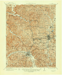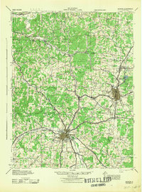
1944 Map of Jackson
USGS Topo · Published 1944About this map
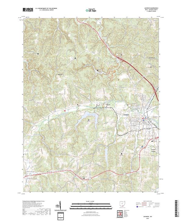
Jackson and Wellston anchor this wartime landscape, revealing a region defined by its coal-rich geology and industrial heritage. The Baltimore and Ohio railroad corridor serves as the spine for industrial activity, connecting coal mining operations and iron heritage sites like Jackson Furnace. Smaller settlements such as Coalton, Hamden, and Glen Roy are closely integrated into this transit and extraction network, while the surrounding hills are dotted with a dense network of one-room schools, including Centerpoint School, Oakland Sch, and Savageville Sch. The map records the cultural geography of the mid-1940s, from established burial grounds like Ridgewood Cemetery to recreation spots like Lake Alma. A significant presence of bench marks and spot elevations across Vinton County and Jackson County provides precise topographic data for the era's land use planning.
Find a feature on this map
93 named features on this map. Tap any name to fly to it.
Don’t see what you’re looking for? This feature index may not catch every label — zoom into the map to look around manually.
Map Details
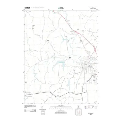
Editions of this 1944 Jackson Map
This is the sole edition of this map. No revisions or reprints were ever made.
Historical Maps of Jackson Through Time
8 maps found