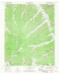
1952 Map of Beaverdam Springs
USGS Topo · Published 1970About this map
Beaverdam Creek winds through a landscape defined by deep hollows and narrow ridges along the Hickman Co and Lewis Co border. Originally field checked in the early 1950s, this record includes photogrammetric revisions from 1968, documenting the mid-century evolution of rural communities like Hornertown and Beaverdam Springs. The area's social fabric is visible in the distribution of family-named landmarks and institutions, from the Beaverdam Springs School to numerous small burial grounds such as Campbell Cem and Breece Cem.
Find a feature on this map
62 named features on this map. Tap any name to fly to it.
Don’t see what you’re looking for? This feature index may not catch every label — zoom into the map to look around manually.
Map Details
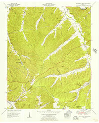
Editions of this 1952 Beaverdam Springs Map
2 editions found
Other maps of this area

1901 · Colombia
USGS Topo · 1:125,000

1936 · Graves Spring
USGS Topo · 1:24,000

1936 · Pleasantville
USGS Topo · 1:24,000

1936 · Coble
USGS Topo · 1:24,000

1936 · Beaverdam Springs
USGS Topo · 1:24,000

1936 · Nunnelly
USGS Topo · 1:24,000

1936 · Whitfield
USGS Topo · 1:24,000

1936 · Sunrise
USGS Topo · 1:24,000

1936 · Kimmins
USGS Topo · 1:24,000

1936 · Gordonsburg
USGS Topo · 1:24,000