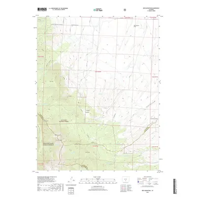
2019 Map of Beck Mountain
USGS Topo · Published 2019About this map
Beck Mtn and Snowslide Mtn anchor the high-altitude divide between Saguache, Custer, and Huerfano counties. This 2019 survey documents a landscape of alpine peaks and steep drainages where the San Isabel National Forest meets the Great Sand Dunes National Preserve. The hydrology of the area is defined by numerous seasonal and perennial flows, including Grape Creek and the headwaters of Cottonwood Creek. Of particular interest to local historians is the Wet Mountain Valley in the northeast and the presence of the Hudson Ditch, which indicates the management of water resources for lower-elevation use. High-altitude landmarks like Loco Park, Mid Knob, and Crystal Falls are clearly marked alongside the long-distance Rainbow trail and the Upper Sand Creek Trail.
Find a feature on this map
54 named features on this map. Tap any name to fly to it.
Don’t see what you’re looking for? This feature index may not catch every label — zoom into the map to look around manually.
Map Details
Editions of this 2019 Beck Mountain Map
This is the sole edition of this map. No revisions or reprints were ever made.
Other maps of this area

1889 · Canon City
USGS Topo · 1:125,000

1889 · Huerfano Park
USGS Topo · 1:125,000

1892 · Huerfano Park
USGS Topo · 1:125,000

1892 · Canon City
USGS Topo · 1:125,000

1954 · Rosita
USGS Topo · 1:24,000

1954 · Trinidad
USGS Topo · 1:250,000

1954 · Pueblo
USGS Topo · 1:250,000

1955 · Trinidad
USGS Topo · 1:250,000

1957 · Pueblo
USGS Topo · 1:250,000

1957 · Aldrich Gulch
USGS Topo · 1:24,000