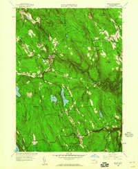
1958 Map of Becket
USGS Topo · Published 1960About this map
The Boston and Albany (New York Central) railroad corridor defines the transport geography of this section of the Berkshires, tracing the valley of the West Branch Westfield River. This late-1950s survey captures a transition between the area's agricultural past and its development as a recreational destination. Small clusters of civic life remain at Washington, Becket, and Middlefield, while large tracts are dedicated to the October Mountain State Forest and Peru State Forest. Cultural and educational landmarks are prominent, including the Mt St Lawrence Novitiate, Camp Greylock, and Camp Becket near the waters of Center Pond. The map also preserves the location of the Washington Church and Middlefield School, providing a detailed record of the community infrastructure that once served these upland townships.
Find a feature on this map
74 named features on this map. Tap any name to fly to it.
Don’t see what you’re looking for? This feature index may not catch every label — zoom into the map to look around manually.
Map Details
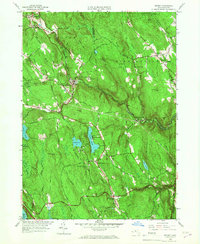
Editions of this 1958 Becket Map
2 editions found
Other maps of this area

1886 · Chesterfield
USGS Topo · 1:62,500

1886 · Becket
USGS Topo · 1:62,500

1887 · Granville
USGS Topo · 1:62,500

1888 · Becket
USGS Topo · 1:62,500

1888 · Sandisfield
USGS Topo · 1:62,500

1888 · Chesterfield
USGS Topo · 1:62,500

1889 · Granville
USGS Topo · 1:62,500

1893 · Granville
USGS Topo · 1:62,500

1893 · Chesterfield
USGS Topo · 1:62,500

1893 · Becket
USGS Topo · 1:62,500