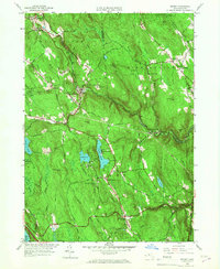
1958 Map of Becket
USGS Topo · Published 1967About this map
Becket and the surrounding Berkshire highlands are defined by a network of seasonal camps and recreational waters at the midpoint of the twentieth century. The landscape is dotted with established institutions like Camp Greylock, Camp Becket, and Chimney Corners Camp, situated near the shores of Center Pond and Rudd Pond. These camps, alongside the St Lawrence Novitiate, reflect the region's mid-century transition from a strictly agricultural economy to one centered on religious retreats and summer youth recreation.
Find a feature on this map
75 named features on this map. Tap any name to fly to it.
Don’t see what you’re looking for? This feature index may not catch every label — zoom into the map to look around manually.
Map Details
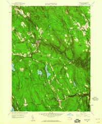
Editions of this 1958 Becket Map
2 editions found
Other maps of this area

1886 · Chesterfield
USGS Topo · 1:62,500

1886 · Becket
USGS Topo · 1:62,500

1887 · Granville
USGS Topo · 1:62,500

1888 · Becket
USGS Topo · 1:62,500

1888 · Sandisfield
USGS Topo · 1:62,500

1888 · Chesterfield
USGS Topo · 1:62,500

1889 · Granville
USGS Topo · 1:62,500

1893 · Granville
USGS Topo · 1:62,500

1893 · Chesterfield
USGS Topo · 1:62,500

1893 · Becket
USGS Topo · 1:62,500