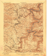
1982 Map of Beckley
USGS Topo · Published 1984About this map
The New River Gorge National River and its dramatic landscape dominate the eastern portion of this 1980s-era topographic survey. This was a pivotal time for the region as industrial coal mining footprints intersected with emerging conservation and recreation land at Grandview State Park and Little Beaver State Park. The map documents the extensive transportation infrastructure required to move resources through the Appalachians, including the winding tracks of the Chesapeake and Ohio and Norfolk and Western railroads.
Find a feature on this map
175 named features on this map. Tap any name to fly to it.
Don’t see what you’re looking for? This feature index may not catch every label — zoom into the map to look around manually.
Map Details
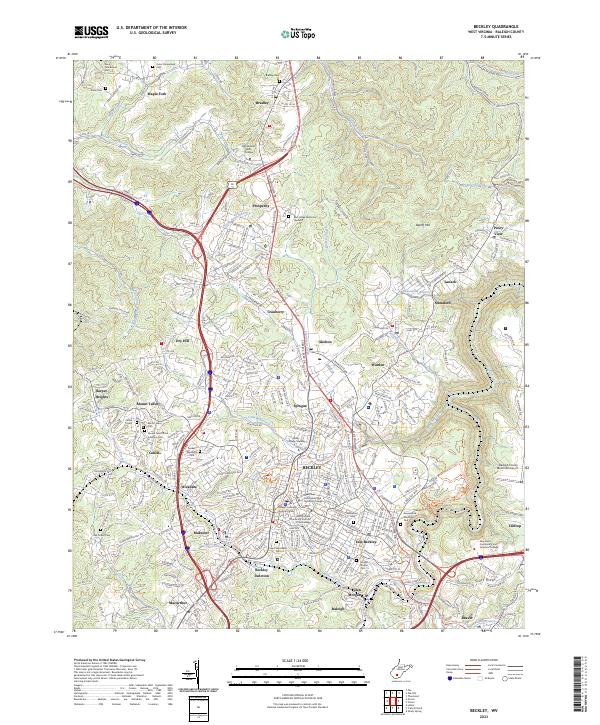
Editions of this 1982 Beckley Map
This is the sole edition of this map. No revisions or reprints were ever made.
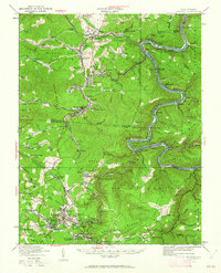
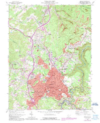
Historical Maps of Beckley Through Time
7 maps found