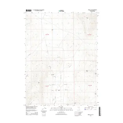
2014 Map of Bedell Flat
USGS Topo · Published 2014About this map
Nashville and the surrounding high-desert basins define this portion of Washoe County, characterized by expansive flats and isolated mountain peaks. The landscape is structured by a network of local routes including Alum Rock Rd and Antelope Valley Rd, which navigate the terrain between Bedell Flat and the Antelope Valley settlement area. The eastern portion of the map is dominated by the complex topography of the Hungry Range, while the southern reaches descend toward Hungry Valley. Landmark peaks such as Dogskin Mtn, Freds Mtn, and Warm Springs Mtn serve as the primary navigational anchors for the region. The presence of roads like Ruby Hill Rd, Prospect Hill Rd, and Mineral Flat Rd suggests a history of local resource access and land use concentrated in the valleys between these dominant granite and volcanic formations.
Find a feature on this map
26 named features on this map. Tap any name to fly to it.
Don’t see what you’re looking for? This feature index may not catch every label — zoom into the map to look around manually.
Map Details
Editions of this 2014 Bedell Flat Map
This is the sole edition of this map. No revisions or reprints were ever made.
Other maps of this area

1891 · Reno
USGS Topo · 1:125,000

1893 · Reno
USGS Topo · 1:125,000

1950 · Reno
USGS Topo · 1:62,500

1951 · Reno
USGS Topo · 1:62,500

1957 · Sutcliffe
USGS Topo · 1:62,500

1957 · Dogskin Mountain
USGS Topo · 1:62,500

1957 · Spanish Springs Valley
USGS Topo · 1:62,500

1957 · Reno
USGS Topo · 1:250,000

1959 · Reno
USGS Topo · 1:250,000

1960 · Reno
USGS Topo · 1:250,000