
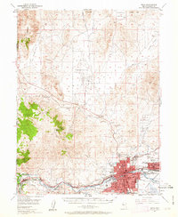
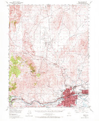
1950 Map of Reno
USGS Topo · Published 1957About this map
Reno and Sparks anchor this mid-century topographic survey, showing the urban footprint of the Truckee Meadows before the post-war building boom fully reshaped the valley. The map documents an intricate network of irrigation and water management essential to the high desert, including the Steamboat Canal, Last Chance Ditch, and Orr Ditch Road. These features reflect the region's agricultural foundations as they began to give way to suburban development like Chalk Highland and West Reno.
Find a feature on this map
54 named features on this map. Tap any name to fly to it.
Don’t see what you’re looking for? This feature index may not catch every label — zoom into the map to look around manually.
Map Details
Editions of this 1950 Reno Map
3 editions found
Other maps of this area

1890 · Sierraville
USGS Topo · 1:125,000

1891 · Carson
USGS Topo · 1:125,000

1891 · Truckee
USGS Topo · 1:125,000

1891 · Reno
USGS Topo · 1:125,000

1892 · Sierraville
USGS Topo · 1:125,000

1893 · Carson
USGS Topo · 1:125,000

1893 · Truckee
USGS Topo · 1:125,000

1893 · Reno
USGS Topo · 1:125,000

1894 · Sierraville
USGS Topo · 1:125,000

1895 · Truckee
USGS Topo · 1:125,000