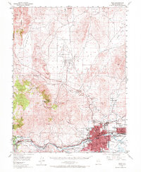
1950 Map of Reno
USGS Topo · Published 1972About this map
Reno and Sparks anchor the Truckee Meadows in the early 1950s, a period defined by the convergence of the Southern Pacific and Western Pacific railroads. The city's northern expansion is checked by the slopes of Peavine Peak, where remnants of earlier mining activity like the Golden Fleece Mine and the Poeville townsite sit above the burgeoning suburban landscape. Along the Truckee River, smaller settlements such as Verdi, Mogul, and Lawton trace the river's path westward toward the California border. To the north, a large Military Reservation occupies the basin between Freds Mtn and the Petersen Mtn range, while the valley floor shows an intricate system of water management including the Steamboat Canal and Last Chance Ditch. This era captures the transition of the region from a mining and ranching hub into a modern aviation and transportation center, evidenced by the Reno Airport and the smaller Skyline Airfield.
Find a feature on this map
61 named features on this map. Tap any name to fly to it.
Don’t see what you’re looking for? This feature index may not catch every label — zoom into the map to look around manually.
Map Details
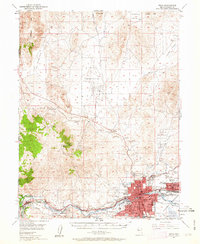
Editions of this 1950 Reno Map
3 editions found

Other maps of this area

1890 · Sierraville
USGS Topo · 1:125,000

1891 · Carson
USGS Topo · 1:125,000

1891 · Truckee
USGS Topo · 1:125,000

1891 · Reno
USGS Topo · 1:125,000

1892 · Sierraville
USGS Topo · 1:125,000

1893 · Carson
USGS Topo · 1:125,000

1893 · Truckee
USGS Topo · 1:125,000

1893 · Reno
USGS Topo · 1:125,000

1894 · Sierraville
USGS Topo · 1:125,000

1895 · Truckee
USGS Topo · 1:125,000