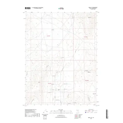
2018 Map of Bedell Flat
USGS Topo · Published 2018About this map
Bedell Flat and the surrounding high desert basins define this 2018 survey of northern Washoe County. The landscape is dominated by significant relief, anchored by Dogskin Mtn to the north and the slopes of Freds Mtn to the southwest. This modern mapping effort records the rural transition from the open expanses of Antelope Valley toward the more rugged Hungry Range. The network of local access roads, including Mineral Flat Rd and Bronze Hill Rd, reflects the sparse but established grazing and residential infrastructure typical of the Nevada interior. To the southeast, the terrain descends into the northern reaches of Hungry Valley, a name echoed by the nearby Hungry Mtn and Warm Springs Mtn. This sheet serves as a clear record of the area's topographical character and public land survey boundaries at the end of the second decade of the 21st century.
Find a feature on this map
29 named features on this map. Tap any name to fly to it.
Don’t see what you’re looking for? This feature index may not catch every label — zoom into the map to look around manually.
Map Details
Editions of this 2018 Bedell Flat Map
This is the sole edition of this map. No revisions or reprints were ever made.
Other maps of this area

1891 · Reno
USGS Topo · 1:125,000

1893 · Reno
USGS Topo · 1:125,000

1950 · Reno
USGS Topo · 1:62,500

1951 · Reno
USGS Topo · 1:62,500

1957 · Sutcliffe
USGS Topo · 1:62,500

1957 · Dogskin Mountain
USGS Topo · 1:62,500

1957 · Spanish Springs Valley
USGS Topo · 1:62,500

1957 · Reno
USGS Topo · 1:250,000

1959 · Reno
USGS Topo · 1:250,000

1960 · Reno
USGS Topo · 1:250,000