
Loading...
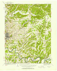
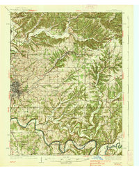
Loading map...1990 Map of Bedford
USGS Topo · Published 1991About this map
The meandering East Fork White River anchors this 1990 survey of Southern Indiana, cutting a deep path past Hindostan Falls and through the densely wooded Hoosier National Forest. The landscape is a study in diverse land use, from the expansive military restricted areas of the U S Naval Ammunition Depot and the Crane Naval Weapons Support Center to the world-renowned resort heritage of West Baden Springs and French Lick.
Find a feature on this map
130 named features on this map. Tap any name to fly to it.
Don’t see what you’re looking for? This feature index may not catch every label — zoom into the map to look around manually.
Map Details
Date Portrayed1990
Date Published1991
PublisherU.S. Geological Survey
Map TypeTopographic
Scale1:100,000
Physical Dimensions41 x 24.1 inches
Editions of this 1990 Bedford Map
This is the sole edition of this map. No revisions or reprints were ever made.
Historical Maps of Bedford Through Time
4 maps found

Featured Locations
Source Details
SourceU.S. Geological Survey
CopyrightPublic Domain