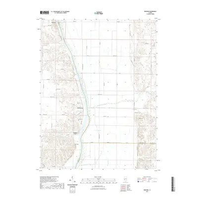
2024 Map of Bedford
USGS Topo · Published 2024About this map
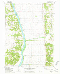
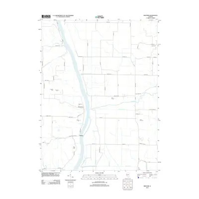
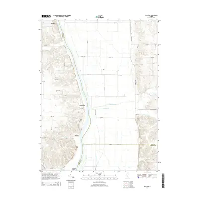
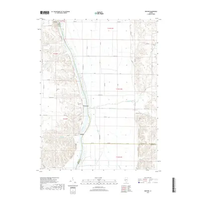
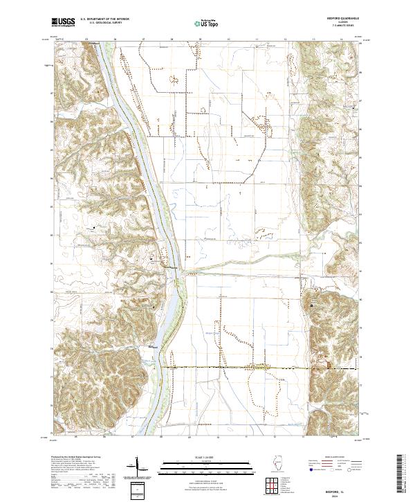
The Illinois River serves as the central artery of this landscape, separating the bottomlands of Scott County from the rising bluffs of Pike County. Historically significant riverfront settlements like Montezuma and Bedford are situated along the western bank, where the terrain shifts from the level floodplains of Morgan Slough to the prominent height of Pilot Knob. This 2024 survey captures a rural environment where land use is dictated by the river’s path, with Florence anchoring the northern reach near the river crossing. The map is particularly useful for genealogists, as it identifies several small, family-linked burial sites including Adams Family Cem, Clemmons Cem, and Frame Cem. The drainage patterns of Bedford Creek and Bucks Branch further illustrate the watershed's influence on local road placement and settlement boundaries.
Find a feature on this map
56 named features on this map. Tap any name to fly to it.
Don’t see what you’re looking for? This feature index may not catch every label — zoom into the map to look around manually.
Map Details
Editions of this 2024 Bedford Map
This is the sole edition of this map. No revisions or reprints were ever made.
Historical Maps of Montezuma Through Time
6 maps found