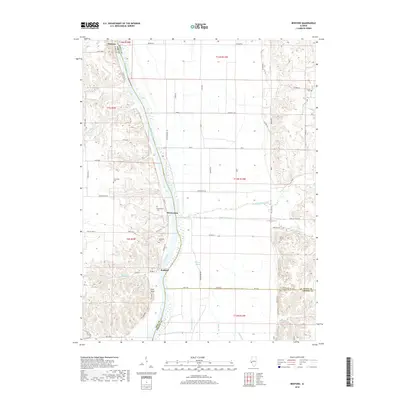
2018 Map of Bedford
USGS Topo · Published 2018About this map
The Illinois River serves as the central artery for this portion of the border between Pike, Scott, and Greene counties. Along its western banks, the settlements of Florence, Montezuma, and Bedford are linked by a network of river-adjacent roads. The terrain transitions from the broad alluvial plains of the Morgan Slough to the prominent elevation of Pilot Knob. This area is particularly detailed with local genealogical sites, featuring small burial grounds such as Clemmons Cem, Montezuma Cem, and the Adams Family Cem. Numerous tributaries, including Little Sandy Cr and Big Sandy Creek, feed into the river system, illustrating the drainage patterns that have historically influenced land use and travel in this riverine environment. The grid of township roads and levees shows the ongoing efforts to manage the landscape for agricultural and residential utility.
Find a feature on this map
73 named features on this map. Tap any name to fly to it.
Don’t see what you’re looking for? This feature index may not catch every label — zoom into the map to look around manually.
Map Details
Editions of this 2018 Bedford Map
This is the sole edition of this map. No revisions or reprints were ever made.
Other maps of this area

1924 · Winchester
USGS Topo · 1:48,000

1924 · Roodhouse
USGS Topo · 1:62,500

1924 · Griggsville
USGS Topo · 1:62,500

1926 · Griggsville
USGS Topo · 1:62,500

1926 · Winchester
USGS Topo · 1:62,500

1926 · Roodhouse
USGS Topo · 1:62,500

1930 · Pearl
USGS Topo · 1:62,500

1948 · Quincy
USGS Topo · 1:250,000

1950 · Pearl
USGS Topo · 1:62,500

1956 · Quincy
USGS Topo · 1:250,000