
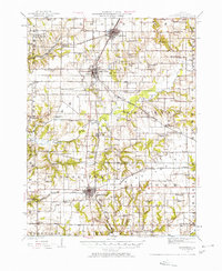
1926 Map of Winchester
USGS Topo · Published 1926About this map
Winchester serves as the central hub for Scott County in this mid-1920s survey, surrounded by a dense network of over two dozen rural schoolhouses that define the local social geography. Named institutions like Strawns Grove School, Seminary School, and the South College School appear at regular intervals across the landscape, marking the distribution of pioneer-era family settlements before the mid-century consolidation of school districts. The terrain is characterized by the branching drainages of Mauvaise Terre Creek and Apple Creek, which carve through the prairie to create distinctive landmarks like Allison Mound.
Find a feature on this map
67 named features on this map. Tap any name to fly to it.
Don’t see what you’re looking for? This feature index may not catch every label — zoom into the map to look around manually.
Map Details
Editions of this 1926 Winchester Map
This is the sole edition of this map. No revisions or reprints were ever made.
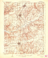
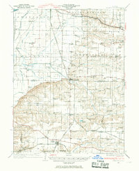
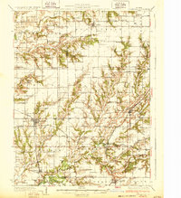
Other maps of this area

1924 · Winchester
USGS Topo · 1:48,000
1924 · Roodhouse
USGS Topo · 1:62,500

1924 · Griggsville
USGS Topo · 1:62,500

1926 · Griggsville
USGS Topo · 1:62,500
1926 · Roodhouse
USGS Topo · 1:62,500

1928 · Meredosia
USGS Topo · 1:62,500
1929 · Arenzville
USGS Topo · 1:62,500

1930 · Pearl
USGS Topo · 1:62,500

1931 · Meredosia
USGS Topo · 1:62,500
1932 · Greenfield
USGS Topo · 1:62,500