
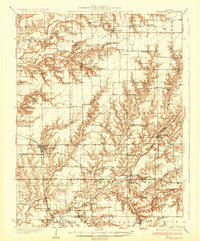
1932 Map of Greenfield
USGS Topo · Published 1932About this map
Greenfield serves as a principal hub in this 1930s landscape, situated at the crossroads of the Burlington Route and the Chicago and Alton railroads. The map reveals a dense network of country schools and family-named landmarks that defined rural Macoupin and Greene counties before the consolidation of mid-century farming. Rural education is prominent, with neighborhood centers like Elm Grove Sch and Pleasant Hill Sch spaced consistently across the prairie.
Find a feature on this map
90 named features on this map. Tap any name to fly to it.
Don’t see what you’re looking for? This feature index may not catch every label — zoom into the map to look around manually.
Map Details
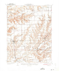
Editions of this 1932 Greenfield Map
3 editions found
Other maps of this area

1912 · Gillespie
USGS Topo · 1:62,500

1915 · Gillespie
USGS Topo · 1:62,500

1923 · Carlinville
USGS Topo · 1:48,000

1924 · Winchester
USGS Topo · 1:48,000

1924 · Waverly
USGS Topo · 1:62,500

1924 · Roodhouse
USGS Topo · 1:62,500

1925 · Carlinville
USGS Topo · 1:62,500

1925 · Brighton
USGS Topo · 1:62,500

1926 · Winchester
USGS Topo · 1:62,500

1926 · Waverly
USGS Topo · 1:62,500