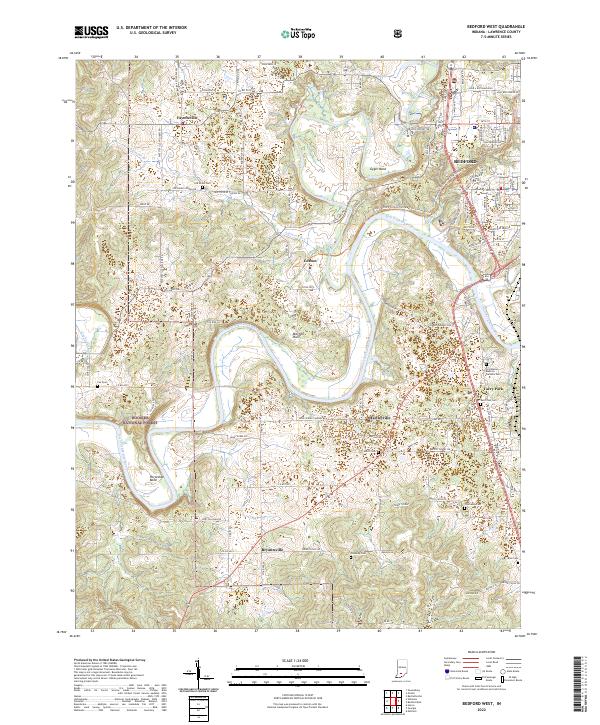
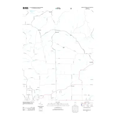
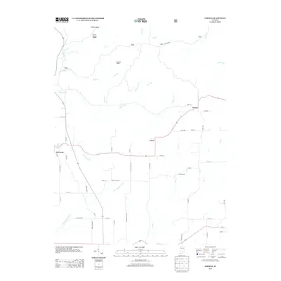
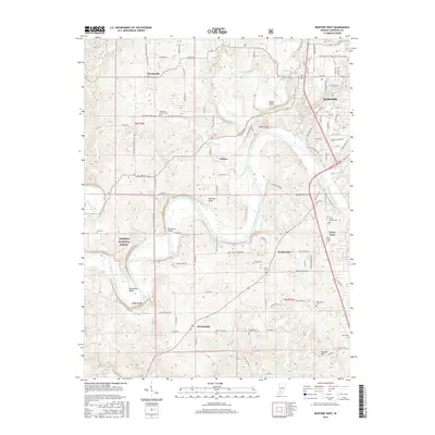
2022 Map of Bedford West
USGS Topo · Published 2022About this map
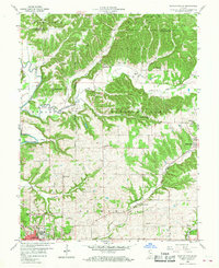
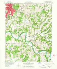
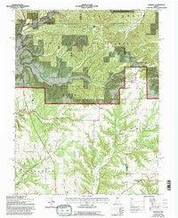
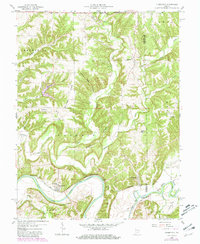
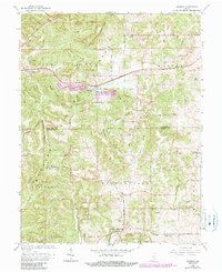
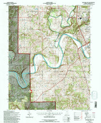
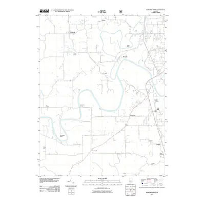
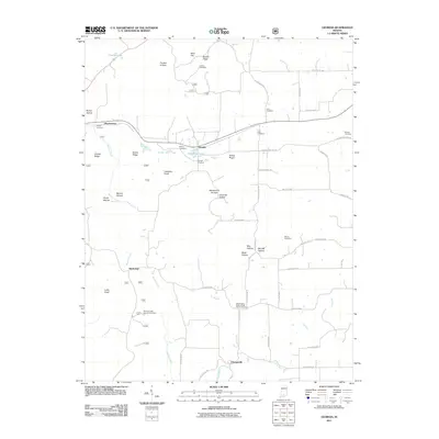
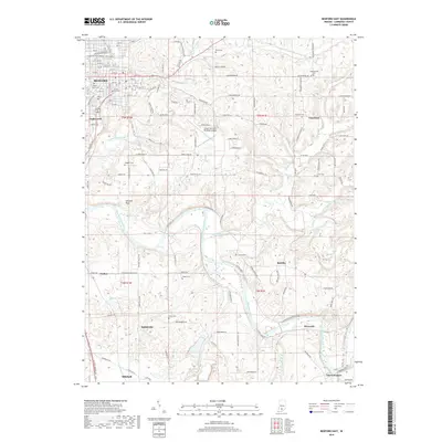
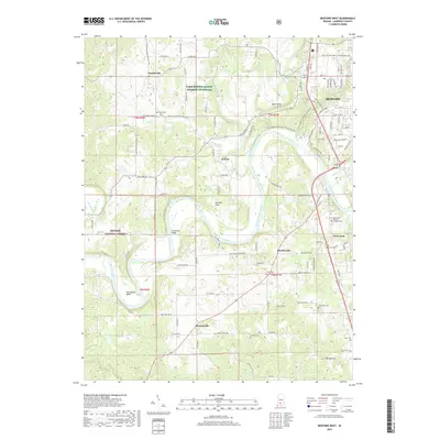
The East Fork White River carves a winding path through the limestone topography of the Mitchell Plain, defining the landscape of Lawrence County. This environment is characterized by sharp meanders like Gyger Bend and Horseshoe Bend, where the river loops back on itself amidst timbered slopes and river-bottom lowlands. The western edge of Bedford serves as the primary urban anchor, giving way to rural settlements and agricultural interests, including the Farm Service Agency Interest of Indiana.
Find a feature on this map
112 named features on this map. Tap any name to fly to it.
Don’t see what you’re looking for? This feature index may not catch every label — zoom into the map to look around manually.
Map Details
Editions of this 2022 Bedford West Map
This is the sole edition of this map. No revisions or reprints were ever made.
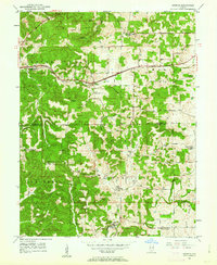
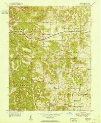
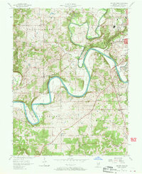
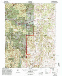
Historical Maps of Bedford Through Time
43 maps found
1949 Georgia
Lawrence County, IN
1951 Georgia
Lawrence County, IN
1957 Bedford West
Lawrence County, IN
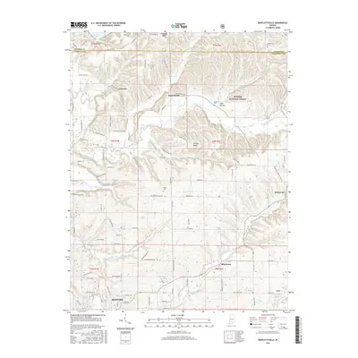
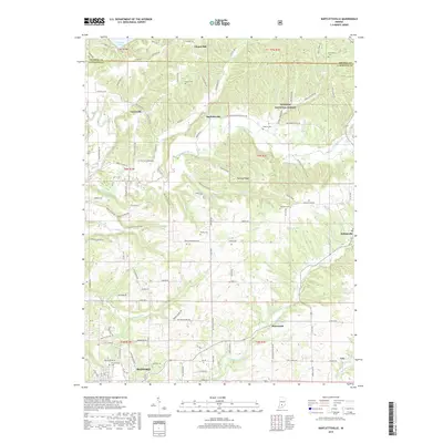
1958 Bartlettsville
Lawrence County, IN
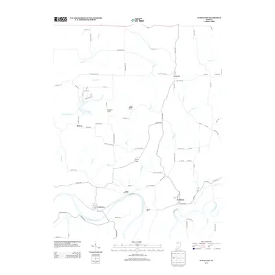
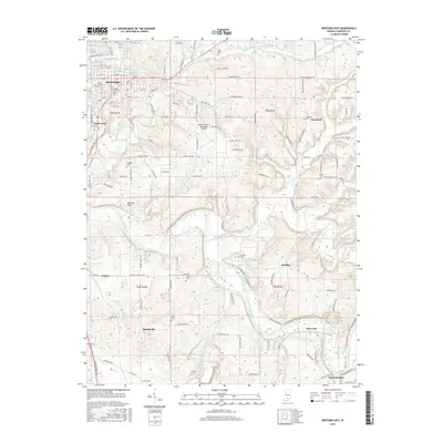
1958 Bedford East
Lawrence County, IN
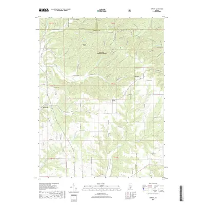
1958 Norman
Lawrence County, IN
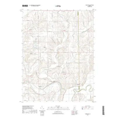
1958 Tunnelton
Lawrence County, IN
1965 Georgia
Lawrence County, IN
1978 Bartlettsville
Lawrence County, IN
1978 Bedford East
Lawrence County, IN
1979 Bedford West
Lawrence County, IN
1993 Bedford West
Lawrence County, IN
1993 Georgia
Lawrence County, IN
2010 Bartlettsville
Lawrence County, IN
2010 Bedford East
Lawrence County, IN
2010 Norman
Lawrence County, IN
2010 Tunnelton
Lawrence County, IN
2011 Bedford West
Lawrence County, IN
2011 Georgia
Lawrence County, IN
2013 Bartlettsville
Lawrence County, IN
2013 Bedford East
Lawrence County, IN
2013 Bedford West
Lawrence County, IN
2013 Georgia
Lawrence County, IN
2013 Norman
Lawrence County, IN
2013 Tunnelton
Lawrence County, IN
2016 Bartlettsville
Lawrence County, IN
2016 Bedford East
Lawrence County, IN
2016 Bedford West
Lawrence County, IN
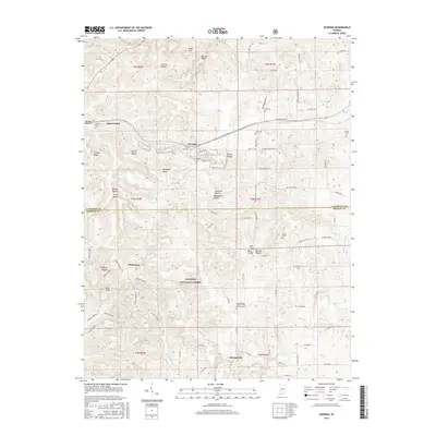
2016 Georgia
Lawrence County, IN
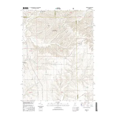
2016 Norman
Lawrence County, IN
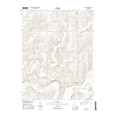
2016 Tunnelton
Lawrence County, IN
2019 Bartlettsville
Lawrence County, IN
2019 Bedford East
Lawrence County, IN
2019 Bedford West
Lawrence County, IN
2019 Georgia
Lawrence County, IN
2019 Norman
Lawrence County, IN
2019 Tunnelton
Lawrence County, IN
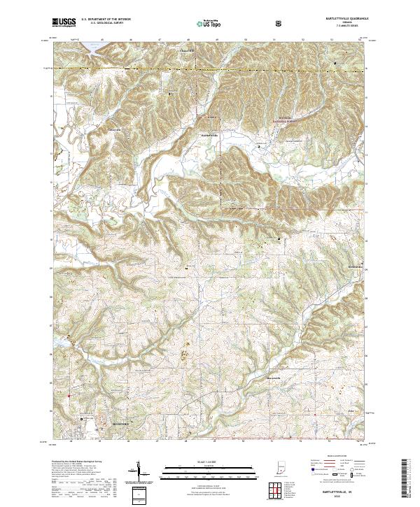
2022 Bartlettsville
Lawrence County, IN
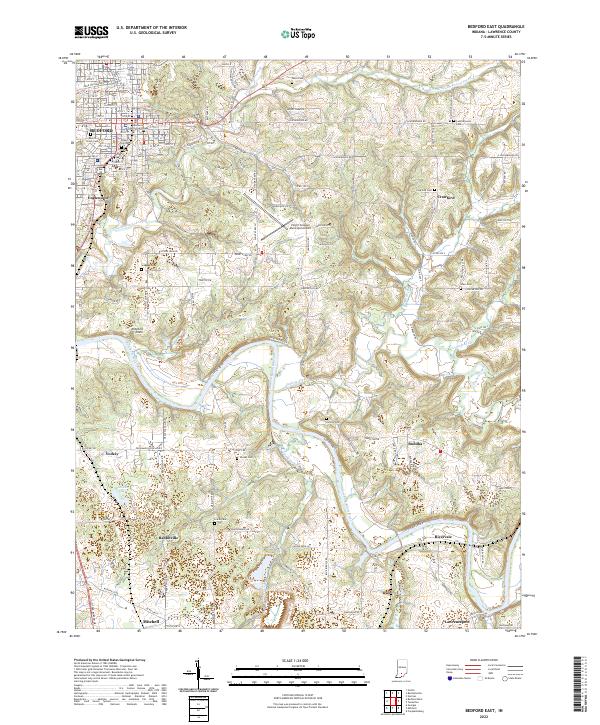
2022 Bedford East
Lawrence County, IN
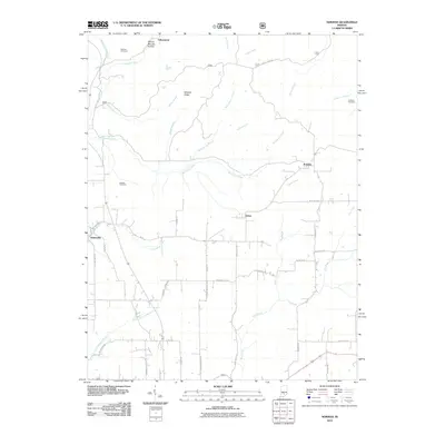
2022 Bedford West
Lawrence County, IN
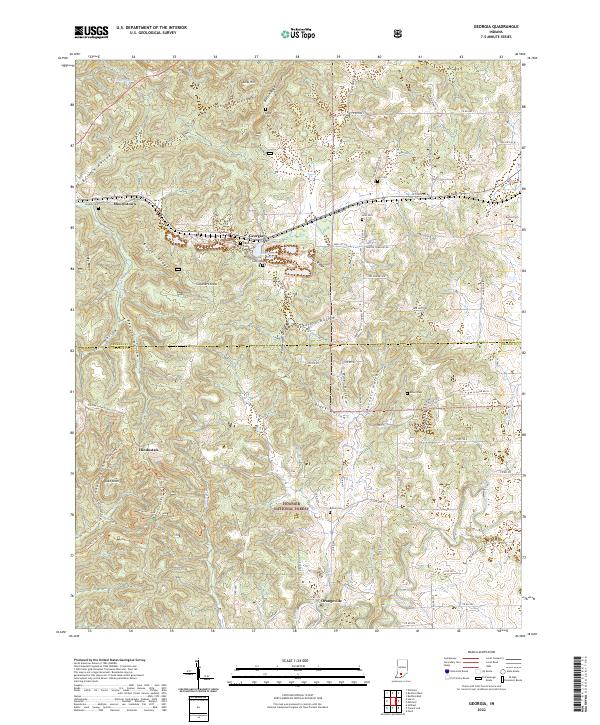
2022 Georgia
Lawrence County, IN
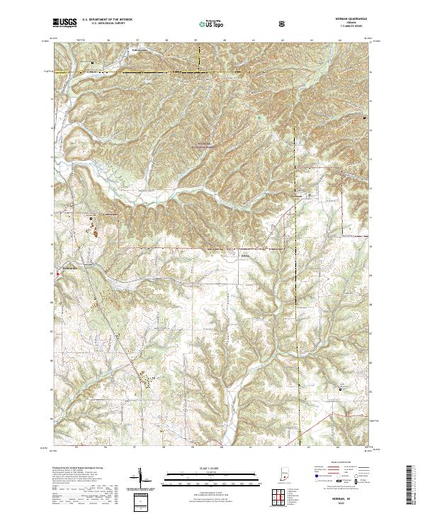
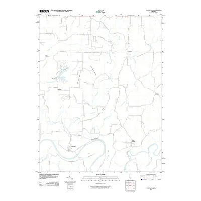
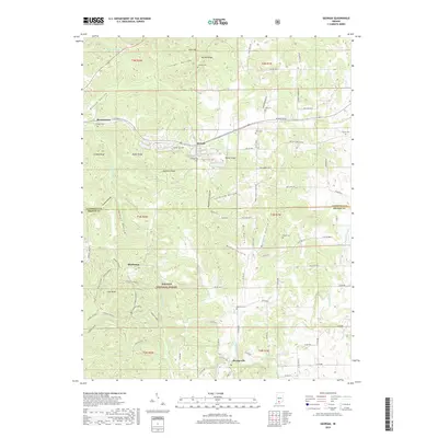
2022 Norman
Lawrence County, IN
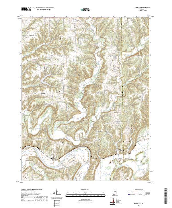
2022 Tunnelton
Lawrence County, IN